Uglješ geodata
Uglješ (Osječko-Baranjska) is a populated place; located in Croatia in Europe/Zagreb (GMT+2) time zone. With population of 507 people, there are 877 cities with bigger population in this country. Compared to other cities in Croatia, 62% of cities are located further ↓South; 93% of cities are located further ←West and 81.6% of cities have higher elevation than Uglješ. Note1


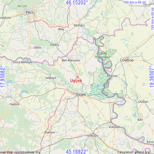
Uglješ GPS coordinates[2]
45° 39' 46.008" North, 18° 39' 42.984" East
| Map corner | latitude | longitude |
|---|---|---|
| Upper-left | 46.15202°, | 17.95882° |
| Center: | 45.66278°, | 18.66194° |
| Lower-right: | 45.16922°, | 19.36507° |
| Map W x H: | 109.3×109.3 km | = 67.9×67.9mi |
| max Lat: | 46.52694° ⇑38% North |
| Uglješ: | 45.66278° |
| min Lat: | ⇓62% South 42.54972° |
| min Long | Uglješ | max Long |
| 13.52389° | 18.66194° | 19.37694° |
| W 93%⇐ | ⇒7% E |
Elevation
Elevation of Uglješ is 84 m = 276 ft, and this is 69.3 m = 227 ft below average elevation for this country.
| Max E: |
827 m = 2713 ft | 81.6% |
| Avg. | 153.3 m = 503 ft | |
| Uglješ | 84 m = 276 ft | |
Min E: |
-1 m = -3 ft | 18.4% |
See also: Croatia elevation on elevation.city.
Geographical zone
Uglješ is located in North temperate zone (between Tropic of Cancer and the Arctic Circle). Distance of this North polar circle is 2323.9 km =1444 mi to North.| Distance of | km | miles | from Uglješ |
|---|---|---|---|
| North Pole | 4929.8 | 3063.2 | to North |
| Arctic Circle | 2323.9 | 1444 | to North |
| Tropic Cancer | 2471.3 | 1535.6 | to South |
| Equator | 5077.2 | 3154.8 | to South |


Nearby cities:
15 places around Uglješ: (largest is in red/bold)
• Bilje
8.9 km =5.5 mi,  134°
134°
• Darda
4.9 km =3 mi,  142°
142°
• Grabovac
7.2 km =4.5 mi,  57°
57°
• Jagodnjak
7.7 km =4.8 mi,  301°
301°
• Josipovac
10.9 km =6.8 mi,  215°
215°
• Karanac
11 km =6.8 mi,  9°
9°
• Kneževi Vinogradi
11.2 km =7 mi,  29°
29°
• Kozarac
6.4 km =4 mi, 9°
• Lug
8.9 km =5.5 mi,  90°
90°
• Mece
6.7 km =4.2 mi, 136°
• Petrijevci
11.3 km =7 mi,  240°
240°
• Tvrđavica
10.2 km =6.3 mi,  173°
173°
• Vardarac
9.3 km =5.8 mi,  114°
114°
• Višnjevac
11.1 km =6.9 mi,  199°
199°
• Čeminac
2.7 km =1.7 mi, 9°
Sources, notices
• [Note1] Compared only with cities in Croatia existing in our database
• [Src1] Map data: © OpenStreetMap contributors (CC-BY-SA)
• [Src2] Other city data from geonames.org with taken over terms of usage.
• [Src3] Geographical zone / Annual Mean Temperature by Robert A. Rohde @ Wikipedia
