Kozarac geodata
Kozarac (Osječko-Baranjska) is a populated place; located in Croatia in Europe/Zagreb (GMT+2) time zone. With population of 730 people, there are 642 cities with bigger population in this country. Compared to other cities in Croatia, 66.5% of cities are located further ↓South; 93.4% of cities are located further ←West and 77.6% of cities have higher elevation than Kozarac. Note1


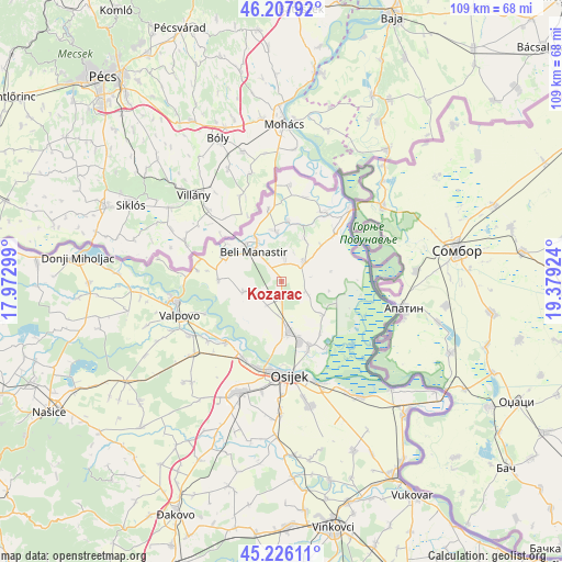
Kozarac GPS coordinates[2]
45° 43' 9.012" North, 18° 40' 33.996" East
| Map corner | latitude | longitude |
|---|---|---|
| Upper-left | 46.20792°, | 17.97299° |
| Center: | 45.71917°, | 18.67611° |
| Lower-right: | 45.22611°, | 19.37924° |
| Map W x H: | 109.2×109.2 km | = 67.9×67.9mi |
| max Lat: | 46.52694° ⇑33.5% North |
| Kozarac: | 45.71917° |
| min Lat: | ⇓66.5% South 42.54972° |
| min Long | Kozarac | max Long |
| 13.52389° | 18.67611° | 19.37694° |
| W 93.4%⇐ | ⇒6.6% E |
Elevation
Elevation of Kozarac is 87 m = 285 ft, and this is 66.3 m = 218 ft below average elevation for this country.
| Max E: |
827 m = 2713 ft | 77.6% |
| Avg. | 153.3 m = 503 ft | |
| Kozarac | 87 m = 285 ft | |
Min E: |
-1 m = -3 ft | 22.4% |
See also: Croatia elevation on elevation.city.
Geographical zone
Kozarac is located in North temperate zone (between Tropic of Cancer and the Arctic Circle). Distance of this North polar circle is 2317.7 km =1440.2 mi to North.| Distance of | km | miles | from Kozarac |
|---|---|---|---|
| North Pole | 4923.6 | 3059.4 | to North |
| Arctic Circle | 2317.7 | 1440.2 | to North |
| Tropic Cancer | 2477.6 | 1539.5 | to South |
| Equator | 5083.5 | 3158.7 | to South |


Nearby cities:
15 places around Kozarac: (largest is in red/bold)
• Beli Manastir
8 km =5 mi,  315°
315°
• Bolman
12.4 km =7.7 mi,  271°
271°
• Branjin Vrh
10 km =6.2 mi,  329°
329°
• Darda
10.3 km =6.4 mi,  169°
169°
• Grabovac
5.5 km =3.4 mi,  116°
116°
• Jagodnjak
8 km =5 mi,  253°
253°
• Karanac
4.6 km =2.9 mi,  7°
7°
• Kneževi Vinogradi
5.6 km =3.5 mi,  51°
51°
• Lug
10 km =6.2 mi,  129°
129°
• Mece
11.7 km =7.3 mi,  162°
162°
• Petlovac
12.3 km =7.6 mi,  290°
290°
• Popovac
10.1 km =6.3 mi,  352°
352°
• Suza
10.5 km =6.5 mi, 47°
• Uglješ
6.4 km =4 mi,  189°
189°
• Čeminac
3.7 km =2.3 mi, 190°
Sources, notices
• [Note1] Compared only with cities in Croatia existing in our database
• [Src1] Map data: © OpenStreetMap contributors (CC-BY-SA)
• [Src2] Other city data from geonames.org with taken over terms of usage.
• [Src3] Geographical zone / Annual Mean Temperature by Robert A. Rohde @ Wikipedia
