Hvar geodata
Hvar (Split-Dalmatia) is a seat of a second-order administrative division; located in Croatia in Europe/Zagreb (GMT+2) time zone. With population of 3,690 people, there are 109 cities with bigger population in this country. Compared to other cities in Croatia, 95.8% of cities are located further ↑North; 50.4% of cities are located further →East and 93.8% of cities have higher elevation than Hvar. Note1


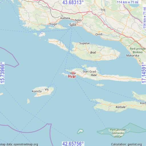
Hvar GPS coordinates[2]
43° 10' 21" North, 16° 26' 34.008" East
| Map corner | latitude | longitude |
|---|---|---|
| Upper-left | 43.68313°, | 15.73966° |
| Center: | 43.1725°, | 16.44278° |
| Lower-right: | 42.65756°, | 17.14591° |
| Map W x H: | 114×114 km | = 70.8×70.8mi |
| max Lat: | 46.52694° ⇑95.8% North |
| Hvar: | 43.1725° |
| min Lat: | ⇓4.2% South 42.54972° |
| min Long | Hvar | max Long |
| 13.52389° | 16.44278° | 19.37694° |
| W 49.6%⇐ | ⇒50.4% E |
Elevation
Elevation of Hvar is 12 m = 39 ft, and this is 141.3 m = 464 ft below average elevation for this country.
| Max E: |
827 m = 2713 ft | 93.8% |
| Avg. | 153.3 m = 503 ft | |
| Hvar | 12 m = 39 ft | |
Min E: |
-1 m = -3 ft | 6.2% |
See also: Croatia elevation on elevation.city.
Geographical zone
Hvar is located in North temperate zone (between Tropic of Cancer and the Arctic Circle). Distance of this Northern Tropic circle is 2194.4 km =1363.5 mi to South.| Distance of | km | miles | from Hvar |
|---|---|---|---|
| North Pole | 5206.7 | 3235.3 | to North |
| Arctic Circle | 2600.8 | 1616.1 | to North |
| Tropic Cancer | 2194.4 | 1363.5 | to South |
| Equator | 4800.3 | 2982.8 | to South |


Nearby cities:
15 places around Hvar: (largest is in red/bold)
• Bol
19.9 km =12.4 mi,  59°
59°
• Dugi Rat
34.3 km =21.3 mi,  27°
27°
• Jelsa
20.3 km =12.6 mi,  93°
93°
• Komiža
31.8 km =19.8 mi,  243°
243°
• Marina
19.7 km =12.2 mi,  1°
1°
• Milna
17.2 km =10.7 mi, 2°
• Nerežišće
20.8 km =12.9 mi, 31°
• Postira
27.2 km =16.9 mi, 34°
• Pučišća
30.6 km =19 mi,  50°
50°
• Stari Grad
12.4 km =7.7 mi,  83°
83°
• Supetar
25.1 km =15.6 mi,  20°
20°
• Sutivan
23.9 km =14.9 mi,  6°
6°
• Vela Luka
32.5 km =20.2 mi,  135°
135°
• Vis
24.4 km =15.2 mi, 239°
• Vrboska
18.5 km =11.5 mi, 86°
Sources, notices
• [Note1] Compared only with cities in Croatia existing in our database
• [Src1] Map data: © OpenStreetMap contributors (CC-BY-SA)
• [Src2] Other city data from geonames.org with taken over terms of usage.
• [Src3] Geographical zone / Annual Mean Temperature by Robert A. Rohde @ Wikipedia
