Čara geodata
Čara (Dubrovačko-Neretvanska) is a populated place; located in Croatia in Europe/Zagreb (GMT+2) time zone. With population of 616 people, there are 738 cities with bigger population in this country. Compared to other cities in Croatia, 97.9% of cities are located further ↑North; 66.7% of cities are located further ←West and 83.3% of cities have lower elevation than Čara. Note1


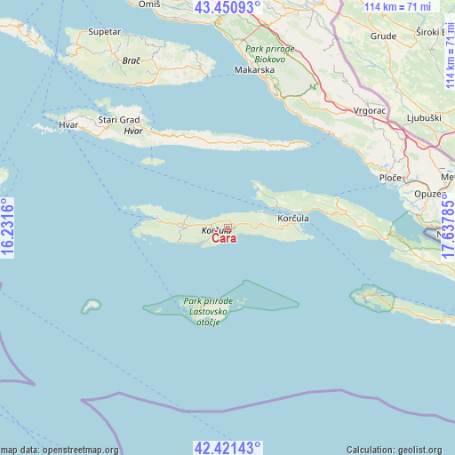
Čara GPS coordinates[2]
42° 56' 17.988" North, 16° 56' 4.992" East
| Map corner | latitude | longitude |
|---|---|---|
| Upper-left | 43.45093°, | 16.2316° |
| Center: | 42.93833°, | 16.93472° |
| Lower-right: | 42.42143°, | 17.63785° |
| Map W x H: | 114.5×114.5 km | = 71.1×71.1mi |
| max Lat: | 46.52694° ⇑97.9% North |
| Čara: | 42.93833° |
| min Lat: | ⇓2.1% South 42.54972° |
| min Long | Čara | max Long |
| 13.52389° | 16.93472° | 19.37694° |
| W 66.7%⇐ | ⇒33.3% E |
Elevation
Elevation of Čara is 226 m = 741 ft, and this is 72.7 m = 239 ft above average elevation for this country.
| Max E: |
827 m = 2713 ft | 16.7% |
| Čara | 226 m 741 ft | |
| Avg. | 153.3 m = 503 ft | |
Min E: |
-1 m = -3 ft | 83.3% |
See also: Croatia elevation on elevation.city.
Geographical zone
Čara is located in North temperate zone (between Tropic of Cancer and the Arctic Circle). Distance of this Northern Tropic circle is 2168.4 km =1347.4 mi to South.| Distance of | km | miles | from Čara |
|---|---|---|---|
| North Pole | 5232.8 | 3251.5 | to North |
| Arctic Circle | 2626.9 | 1632.3 | to North |
| Tropic Cancer | 2168.4 | 1347.4 | to South |
| Equator | 4774.3 | 2966.6 | to South |


Nearby cities:
15 places around Čara: (largest is in red/bold)
• Blato
11.6 km =7.2 mi,  271°
271°
• Gradac
38 km =23.6 mi,  60°
60°
• Jelsa
31.6 km =19.6 mi,  321°
321°
• Korčula
16.5 km =10.3 mi,  81°
81°
• Kraj
35.8 km =22.2 mi,  51°
51°
• Lastovo
19.2 km =11.9 mi,  189°
189°
• Lumbarda
19 km =11.8 mi,  95°
95°
• Orebić
20.2 km =12.6 mi,  74°
74°
• Podgora
35.8 km =22.2 mi,  18°
18°
• Smokvica
3.2 km =2 mi,  254°
254°
• Sućuraj
29.1 km =18.1 mi,  44°
44°
• Trpanj
28.7 km =17.8 mi, 74°
• Vela Luka
17.5 km =10.9 mi,  279°
279°
• Vrboska
34.6 km =21.5 mi, 321°
• Žrnovo
14.7 km =9.1 mi, 84°
Sources, notices
• [Note1] Compared only with cities in Croatia existing in our database
• [Src1] Map data: © OpenStreetMap contributors (CC-BY-SA)
• [Src2] Other city data from geonames.org with taken over terms of usage.
• [Src3] Geographical zone / Annual Mean Temperature by Robert A. Rohde @ Wikipedia
