Blato geodata
Blato (Dubrovačko-Neretvanska) is a seat of a second-order administrative division; located in Croatia in Europe/Zagreb (GMT+2) time zone. In our database, there are 904 cities with bigger population. Compared to other cities in Croatia, 97.8% of cities are located further ↑North; 62.8% of cities are located further ←West and 71.8% of cities have higher elevation than Blato. Note1


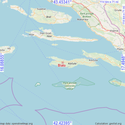
Blato GPS coordinates[2]
42° 56' 26.988" North, 16° 47' 30.012" East
| Map corner | latitude | longitude |
|---|---|---|
| Upper-left | 43.45341°, | 16.08855° |
| Center: | 42.94083°, | 16.79167° |
| Lower-right: | 42.42395°, | 17.4948° |
| Map W x H: | 114.5×114.5 km | = 71.1×71.1mi |
| max Lat: | 46.52694° ⇑97.8% North |
| Blato: | 42.94083° |
| min Lat: | ⇓2.2% South 42.54972° |
| min Long | Blato | max Long |
| 13.52389° | 16.79167° | 19.37694° |
| W 62.8%⇐ | ⇒37.2% E |
Elevation
Elevation of Blato is 92 m = 302 ft, and this is 61.3 m = 201 ft below average elevation for this country.
| Max E: |
827 m = 2713 ft | 71.8% |
| Avg. | 153.3 m = 503 ft | |
| Blato | 92 m = 302 ft | |
Min E: |
-1 m = -3 ft | 28.2% |
See also: Croatia elevation on elevation.city.
Geographical zone
Blato is located in North temperate zone (between Tropic of Cancer and the Arctic Circle). Distance of this Northern Tropic circle is 2168.7 km =1347.6 mi to South.| Distance of | km | miles | from Blato |
|---|---|---|---|
| North Pole | 5232.5 | 3251.3 | to North |
| Arctic Circle | 2626.6 | 1632.1 | to North |
| Tropic Cancer | 2168.7 | 1347.6 | to South |
| Equator | 4774.6 | 2966.8 | to South |


Nearby cities:
15 places around Blato: (largest is in red/bold)
• Bol
37.4 km =23.2 mi,  342°
342°
• Hvar
38.3 km =23.8 mi,  312°
312°
• Jelsa
25.8 km =16 mi, 341°
• Korčula
28 km =17.4 mi,  85°
85°
• Lastovo
21.1 km =13.1 mi,  155°
155°
• Lumbarda
30.6 km =19 mi, 93°
• Orebić
31.6 km =19.6 mi,  80°
80°
• Selca
39.9 km =24.8 mi,  6°
6°
• Smokvica
8.6 km =5.3 mi,  97°
97°
• Stari Grad
31.5 km =19.6 mi,  329°
329°
• Sućuraj
38.1 km =23.7 mi,  57°
57°
• Vela Luka
6.2 km =3.9 mi,  293°
293°
• Vrboska
28.6 km =17.8 mi, 339°
• Čara
11.6 km =7.2 mi, 91°
• Žrnovo
26.3 km =16.3 mi, 87°
Sources, notices
• [Note1] Compared only with cities in Croatia existing in our database
• [Src1] Map data: © OpenStreetMap contributors (CC-BY-SA)
• [Src2] Other city data from geonames.org with taken over terms of usage.
• [Src3] Geographical zone / Annual Mean Temperature by Robert A. Rohde @ Wikipedia
