Telki geodata
Telki (Pest) is a populated place; located in Hungary in Europe/Budapest (GMT+2) time zone. With population of 2,071 people, there are 749 cities with bigger population in this country. Compared to other cities in Hungary, 59.1% of cities are located further ↓South; 70.1% of cities are located further →East and 96.6% of cities have lower elevation than Telki. Note1


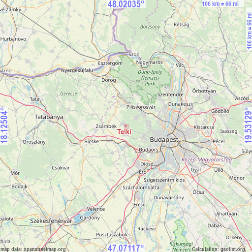
Telki GPS coordinates[2]
47° 32' 52.476" North, 18° 49' 41.376" East
| Map corner | latitude | longitude |
|---|---|---|
| Upper-left | 48.02035°, | 18.12504° |
| Center: | 47.54791°, | 18.82816° |
| Lower-right: | 47.07117°, | 19.53129° |
| Map W x H: | 105.5×105.5 km | = 65.6×65.6mi |
| max Lat: | 48.46667° ⇑40.9% North |
| Telki: | 47.54791° |
| min Lat: | ⇓59.1% South 45.79108° |
| min Long | Telki | max Long |
| 16.27358° | 18.82816° | 22.68096° |
| W 29.9%⇐ | ⇒70.1% E |
Elevation
Elevation of Telki is 240 m = 787 ft, and this is 110.3 m = 362 ft above average elevation for this country.
| Max E: |
444 m = 1457 ft | 3.4% |
| Telki | 240 m 787 ft | |
| Avg. | 129.7 m = 426 ft | |
Min E: |
71 m = 233 ft | 96.6% |
See also: Hungary elevation on elevation.city.
Geographical zone
Telki is located in North temperate zone (between Tropic of Cancer and the Arctic Circle). Distance of this North polar circle is 2114.3 km =1313.8 mi to North.| Distance of | km | miles | from Telki |
|---|---|---|---|
| North Pole | 4720.2 | 2933 | to North |
| Arctic Circle | 2114.3 | 1313.8 | to North |
| Tropic Cancer | 2680.9 | 1665.8 | to South |
| Equator | 5286.8 | 3285.1 | to South |


Nearby cities:
15 places around Telki: (largest is in red/bold)
• Biatorbágy
8.6 km =5.3 mi,  184°
184°
• Budakeszi
8.5 km =5.3 mi,  119°
119°
• Budaörs
13.7 km =8.5 mi,  134°
134°
• Etyek
12.5 km =7.8 mi,  206°
206°
• Mány
13 km =8.1 mi,  262°
262°
• Perbál
6.8 km =4.2 mi,  312°
312°
• Pilisborosjenő
14 km =8.7 mi,  61°
61°
• Piliscsaba
9.6 km =6 mi,  0°
0°
• Pilisszentiván
8.7 km =5.4 mi,  37°
37°
• Pilisszántó
14.2 km =8.8 mi,  18°
18°
• Pilisvörösvár
9.5 km =5.9 mi, 39°
• Páty
3.4 km =2.1 mi, 179°
• Remeteszőlős
7 km =4.3 mi,  78°
78°
• Solymár
9.2 km =5.7 mi, 57°
• Zsámbék
8.1 km =5 mi,  270°
270°
Sources, notices
• [Note1] Compared only with cities in Hungary existing in our database
• [Src1] Map data: © OpenStreetMap contributors (CC-BY-SA)
• [Src2] Other city data from geonames.org with taken over terms of usage.
• [Src3] Geographical zone / Annual Mean Temperature by Robert A. Rohde @ Wikipedia
