Kamubheka geodata
Kamubheka (East Nusa Tenggara) is a seat of a fourth-order administrative division; located in Indonesia in Asia/Makassar (GMT+8) time zone. In our database, there are 407 cities with bigger population. Compared to other cities in Indonesia, 88.4% of cities are located further ↑North; 86.6% of cities are located further ←West and 68.9% of cities have higher elevation than Kamubheka. Note1


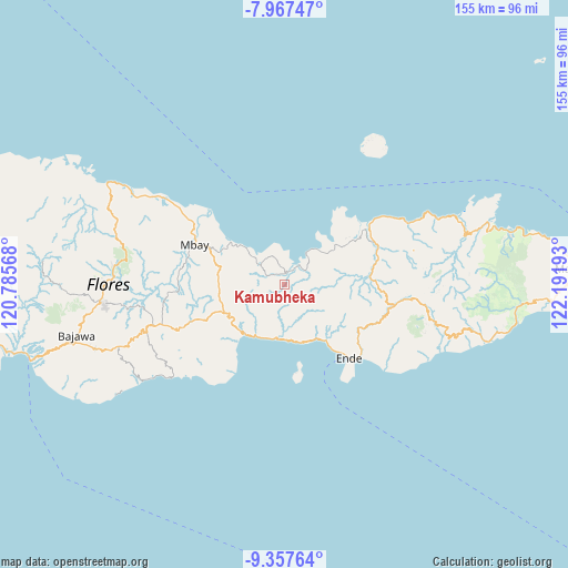
Kamubheka GPS coordinates[2]
8° 39' 47.52" South, 121° 29' 19.68" East
| Map corner | latitude | longitude |
|---|---|---|
| Upper-left | -7.96747°, | 120.78568° |
| Center: | -8.6632°, | 121.4888° |
| Lower-right: | -9.35764°, | 122.19193° |
| Map W x H: | 154.6×154.6 km | = 96.1×96.1mi |
| max Lat: | 5.88969° ⇑88.4% North |
| Kamubheka: | -8.6632° |
| min Lat: | ⇓11.6% South -10.934° |
| min Long | Kamubheka | max Long |
| 95.1345° | 121.4888° | 140.9419° |
| W 86.6%⇐ | ⇒13.4% E |
Elevation
Elevation of Kamubheka is 34 m = 112 ft, and this is 195.7 m = 642 ft below average elevation for this country.
| Max E: |
3185 m = 10449 ft | 68.9% |
| Avg. | 229.7 m = 754 ft | |
| Kamubheka | 34 m = 112 ft | |
Min E: |
-1 m = -3 ft | 31.1% |
See also: Indonesia elevation on elevation.city.
Geographical zone
Kamubheka is located in South Torrid zone (between Equator and Tropic of Capricorn). Distance of Equator is 963.3 km =598.6 mi to North.| Distance of | km | miles | from Kamubheka |
|---|---|---|---|
| Equator | 963.3 | 598.6 | to North |
| Tropic Capricorn | 1642.7 | 1020.7 | to South |
| Antarctic Circle | 6437.9 | 4000.3 | to South |
| South Pole | 9043.8 | 5619.6 | to South |


Nearby cities:
15 places around Kamubheka: (largest is in red/bold)
• Arwea
8.3 km =5.2 mi,  181°
181°
• Boafeo
15.4 km =9.6 mi,  101°
101°
• Boujawa
17.7 km =11 mi,  116°
116°
• Kuekobo
12.1 km =7.5 mi,  241°
241°
• Maukaro
6.7 km =4.2 mi,  36°
36°
• Maunggora
15.9 km =9.9 mi,  169°
169°
• Nangakeo
17 km =10.6 mi,  149°
149°
• Nangapanda
14.6 km =9.1 mi,  188°
188°
• Nangaroro
17.4 km =10.8 mi,  217°
217°
• Numba
16.5 km =10.3 mi, 165°
• Oja
7 km =4.3 mi, 242°
• Puukau
9.5 km =5.9 mi, 223°
• Rerawere
13.1 km =8.1 mi, 44°
• Wakaseko
3.5 km =2.2 mi,  324°
324°
• Watuapi
9.4 km =5.8 mi,  306°
306°
Sources, notices
• [Note1] Compared only with cities in Indonesia existing in our database
• [Src1] Map data: © OpenStreetMap contributors (CC-BY-SA)
• [Src2] Other city data from geonames.org with taken over terms of usage.
• [Src3] Geographical zone / Annual Mean Temperature by Robert A. Rohde @ Wikipedia
