Wolofeo geodata
Wolofeo (East Nusa Tenggara) is a seat of a fourth-order administrative division; located in Indonesia in Asia/Makassar (GMT+8) time zone. In our database, there are 407 cities with bigger population. Compared to other cities in Indonesia, 89.9% of cities are located further ↑North; 87.1% of cities are located further ←West and 98.1% of cities have lower elevation than Wolofeo. Note1


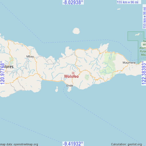
Wolofeo GPS coordinates[2]
8° 43' 30" South, 121° 40' 50.88" East
| Map corner | latitude | longitude |
|---|---|---|
| Upper-left | -8.02938°, | 120.97768° |
| Center: | -8.725°, | 121.6808° |
| Lower-right: | -9.41932°, | 122.38393° |
| Map W x H: | 154.5×154.6 km | = 96×96.1mi |
| max Lat: | 5.88969° ⇑89.9% North |
| Wolofeo: | -8.725° |
| min Lat: | ⇓10.1% South -10.934° |
| min Long | Wolofeo | max Long |
| 95.1345° | 121.6808° | 140.9419° |
| W 87.1%⇐ | ⇒12.9% E |
Elevation
Elevation of Wolofeo is 1042 m = 3419 ft, and this is 812.3 m = 2665 ft above average elevation for this country.
| Max E: |
3185 m = 10449 ft | 1.9% |
| Wolofeo | 1042 m 3419 ft | |
| Avg. | 229.7 m = 754 ft | |
Min E: |
-1 m = -3 ft | 98.1% |
See also: Indonesia elevation on elevation.city.
Geographical zone
Wolofeo is located in South Torrid zone (between Equator and Tropic of Capricorn). Distance of Equator is 970.1 km =602.8 mi to North.| Distance of | km | miles | from Wolofeo |
|---|---|---|---|
| Equator | 970.1 | 602.8 | to North |
| Tropic Capricorn | 1635.8 | 1016.4 | to South |
| Antarctic Circle | 6431 | 3996 | to South |
| South Pole | 9036.9 | 5615.3 | to South |


Nearby cities:
15 places around Wolofeo: (largest is in red/bold)
• Aefeo
4.3 km =2.7 mi,  190°
190°
• Boafeo
7.2 km =4.5 mi,  302°
302°
• Boujawa
5.4 km =3.4 mi,  259°
259°
• Detumbawa
6.8 km =4.2 mi, 187°
• Detusoko
8.9 km =5.5 mi,  83°
83°
• Kengga
5.3 km =3.3 mi,  136°
136°
• Mbani
5.2 km =3.2 mi,  327°
327°
• Nuajena
7.3 km =4.5 mi,  94°
94°
• Nuasepu
9.3 km =5.8 mi,  212°
212°
• Puuperi
8.5 km =5.3 mi,  204°
204°
• Roa
5.4 km =3.4 mi,  130°
130°
• Saga
7.7 km =4.8 mi, 129°
• Tendaleo
8.9 km =5.5 mi,  14°
14°
• Wolomage
6.5 km =4 mi,  68°
68°
• Wolomoni
7.3 km =4.5 mi,  106°
106°
Sources, notices
• [Note1] Compared only with cities in Indonesia existing in our database
• [Src1] Map data: © OpenStreetMap contributors (CC-BY-SA)
• [Src2] Other city data from geonames.org with taken over terms of usage.
• [Src3] Geographical zone / Annual Mean Temperature by Robert A. Rohde @ Wikipedia
