Kokang geodata
Kokang (East Nusa Tenggara) is a seat of a fourth-order administrative division; located in Indonesia in Asia/Makassar (GMT+8) time zone. In our database, there are 407 cities with bigger population. Compared to other cities in Indonesia, 87.3% of cities are located further ↑North; 89.2% of cities are located further ←West and 72.7% of cities have higher elevation than Kokang. Note1


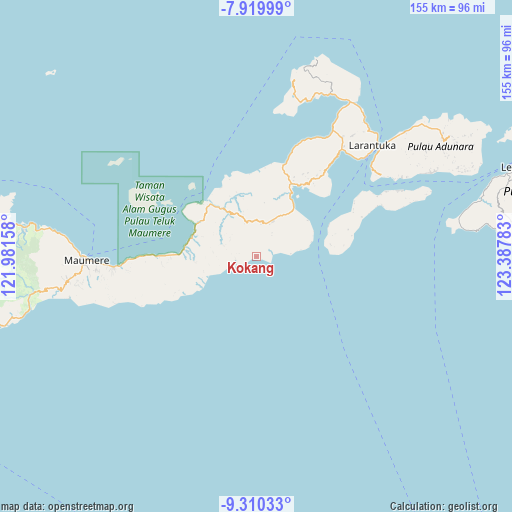
Kokang GPS coordinates[2]
8° 36' 56.88" South, 122° 41' 4.92" East
| Map corner | latitude | longitude |
|---|---|---|
| Upper-left | -7.91999°, | 121.98158° |
| Center: | -8.6158°, | 122.6847° |
| Lower-right: | -9.31033°, | 123.38783° |
| Map W x H: | 154.6×154.6 km | = 96.1×96.1mi |
| max Lat: | 5.88969° ⇑87.3% North |
| Kokang: | -8.6158° |
| min Lat: | ⇓12.7% South -10.934° |
| min Long | Kokang | max Long |
| 95.1345° | 122.6847° | 140.9419° |
| W 89.2%⇐ | ⇒10.8% E |
Elevation
Elevation of Kokang is 28 m = 92 ft, and this is 201.7 m = 662 ft below average elevation for this country.
| Max E: |
3185 m = 10449 ft | 72.7% |
| Avg. | 229.7 m = 754 ft | |
| Kokang | 28 m = 92 ft | |
Min E: |
-1 m = -3 ft | 27.3% |
See also: Indonesia elevation on elevation.city.
Geographical zone
Kokang is located in South Torrid zone (between Equator and Tropic of Capricorn). Distance of Equator is 958 km =595.3 mi to North.| Distance of | km | miles | from Kokang |
|---|---|---|---|
| Equator | 958 | 595.3 | to North |
| Tropic Capricorn | 1647.9 | 1024 | to South |
| Antarctic Circle | 6443.2 | 4003.6 | to South |
| South Pole | 9049.1 | 5622.8 | to South |


Nearby cities:
15 places around Kokang: (largest is in red/bold)
• Boganatar
13.3 km =8.3 mi,  338°
338°
• Boru
10.5 km =6.5 mi,  15°
15°
• Duang
8 km =5 mi,  36°
36°
• Hewa
3.4 km =2.1 mi, 42°
• Hila
9.8 km =6.1 mi,  306°
306°
• Lewotobi
17.2 km =10.7 mi,  75°
75°
• Natarmage
13 km =8.1 mi,  276°
276°
• Nobo
18.6 km =11.6 mi, 38°
• Nurabelen
19 km =11.8 mi,  54°
54°
• Palue
16.5 km =10.3 mi,  8°
8°
• Riangbaring
10.5 km =6.5 mi, 84°
• Riangkaha
18.9 km =11.7 mi,  66°
66°
• Sukutukang
12.9 km =8 mi, 14°
• Watubuku
6.5 km =4 mi, 79°
• Wolometang
10.1 km =6.3 mi,  288°
288°
Sources, notices
• [Note1] Compared only with cities in Indonesia existing in our database
• [Src1] Map data: © OpenStreetMap contributors (CC-BY-SA)
• [Src2] Other city data from geonames.org with taken over terms of usage.
• [Src3] Geographical zone / Annual Mean Temperature by Robert A. Rohde @ Wikipedia
