Sindanghayu geodata
Sindanghayu (Banten) is a seat of a fourth-order administrative division; located in Indonesia in Asia/Jakarta (GMT+7) time zone. In our database, there are 407 cities with bigger population. Compared to other cities in Indonesia, 87% of cities are located further ↓South; 89.5% of cities are located further →East and 77.4% of cities have lower elevation than Sindanghayu. Note1


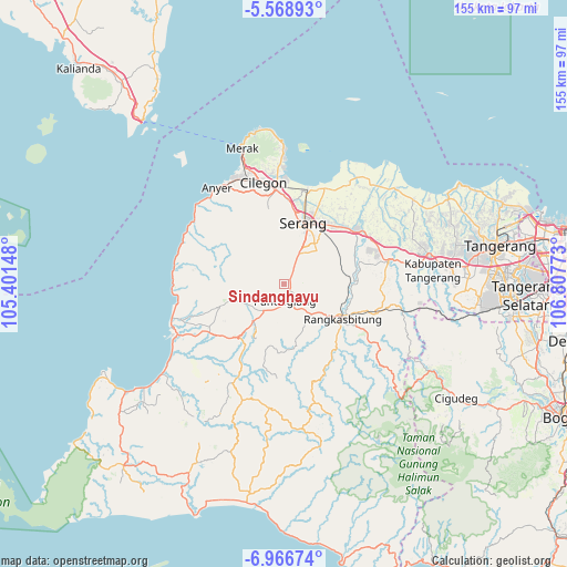
Sindanghayu GPS coordinates[2]
6° 16' 5.88" South, 106° 6' 16.56" East
| Map corner | latitude | longitude |
|---|---|---|
| Upper-left | -5.56893°, | 105.40148° |
| Center: | -6.2683°, | 106.1046° |
| Lower-right: | -6.96674°, | 106.80773° |
| Map W x H: | 155.4×155.4 km | = 96.6×96.6mi |
| max Lat: | 5.88969° ⇑13% North |
| Sindanghayu: | -6.2683° |
| min Lat: | ⇓87% South -10.934° |
| min Long | Sindanghayu | max Long |
| 95.1345° | 106.1046° | 140.9419° |
| W 10.5%⇐ | ⇒89.5% E |
Elevation
Elevation of Sindanghayu is 391 m = 1283 ft, and this is 161.3 m = 529 ft above average elevation for this country.
| Max E: |
3185 m = 10449 ft | 22.6% |
| Sindanghayu | 391 m 1283 ft | |
| Avg. | 229.7 m = 754 ft | |
Min E: |
-1 m = -3 ft | 77.4% |
See also: Indonesia elevation on elevation.city.
Geographical zone
Sindanghayu is located in South Torrid zone (between Equator and Tropic of Capricorn). Distance of Equator is 697 km =433.1 mi to North.| Distance of | km | miles | from Sindanghayu |
|---|---|---|---|
| Equator | 697 | 433.1 | to North |
| Tropic Capricorn | 1908.9 | 1186.1 | to South |
| Antarctic Circle | 6704.2 | 4165.8 | to South |
| South Pole | 9310.1 | 5785 | to South |


Nearby cities:
15 places around Sindanghayu: (largest is in red/bold)
• Cigudang
2.7 km =1.7 mi,  352°
352°
• Jalanbaru
1.9 km =1.2 mi,  65°
65°
• Juhut
3 km =1.9 mi,  176°
176°
• Kaburon
3.2 km =2 mi,  131°
131°
• Kaduela
3.6 km =2.2 mi,  315°
315°
• Kaduengang
3.5 km =2.2 mi,  285°
285°
• Kadukaung
2.3 km =1.4 mi,  6°
6°
• Kadumantung
2.8 km =1.7 mi,  147°
147°
• Kalepasan
2.9 km =1.8 mi, 288°
• Karangtanjung
3.5 km =2.2 mi, 130°
• Keboncau
4.3 km =2.7 mi, 179°
• Lengor
4.5 km =2.8 mi, 7°
• Panyirapan
4.3 km =2.7 mi,  28°
28°
• Sukacai
3.6 km =2.2 mi, 10°
• Tanagara
1.1 km =0.7 mi, 287°
Sources, notices
• [Note1] Compared only with cities in Indonesia existing in our database
• [Src1] Map data: © OpenStreetMap contributors (CC-BY-SA)
• [Src2] Other city data from geonames.org with taken over terms of usage.
• [Src3] Geographical zone / Annual Mean Temperature by Robert A. Rohde @ Wikipedia
