Juhut geodata
Juhut (Banten) is a seat of a fourth-order administrative division; located in Indonesia in Asia/Jakarta (GMT+7) time zone. In our database, there are 407 cities with bigger population. Compared to other cities in Indonesia, 86.8% of cities are located further ↓South; 89.4% of cities are located further →East and 70% of cities have lower elevation than Juhut. Note1


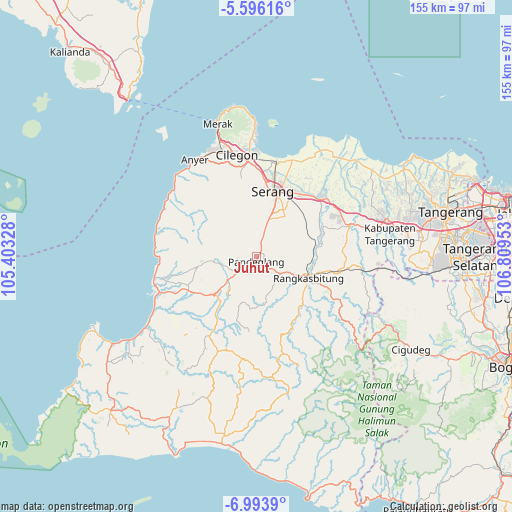
Juhut GPS coordinates[2]
6° 17' 43.8" South, 106° 6' 23.04" East
| Map corner | latitude | longitude |
|---|---|---|
| Upper-left | -5.59616°, | 105.40328° |
| Center: | -6.2955°, | 106.1064° |
| Lower-right: | -6.9939°, | 106.80953° |
| Map W x H: | 155.4×155.4 km | = 96.6×96.6mi |
| max Lat: | 5.88969° ⇑13.2% North |
| Juhut: | -6.2955° |
| min Lat: | ⇓86.8% South -10.934° |
| min Long | Juhut | max Long |
| 95.1345° | 106.1064° | 140.9419° |
| W 10.6%⇐ | ⇒89.4% E |
Elevation
Elevation of Juhut is 290 m = 951 ft, and this is 60.3 m = 198 ft above average elevation for this country.
| Max E: |
3185 m = 10449 ft | 30% |
| Juhut | 290 m 951 ft | |
| Avg. | 229.7 m = 754 ft | |
Min E: |
-1 m = -3 ft | 70% |
See also: Indonesia elevation on elevation.city.
Geographical zone
Juhut is located in South Torrid zone (between Equator and Tropic of Capricorn). Distance of Equator is 700 km =435 mi to North.| Distance of | km | miles | from Juhut |
|---|---|---|---|
| Equator | 700 | 435 | to North |
| Tropic Capricorn | 1905.9 | 1184.3 | to South |
| Antarctic Circle | 6701.2 | 4163.9 | to South |
| South Pole | 9307.1 | 5783.2 | to South |


Nearby cities:
15 places around Juhut: (largest is in red/bold)
• Campraksanta
3.3 km =2.1 mi,  257°
257°
• Ciekek
2.9 km =1.8 mi,  195°
195°
• Cilaja
2.6 km =1.6 mi,  221°
221°
• Gardutanjak
2.1 km =1.3 mi, 195°
• Jalanbaru
4.1 km =2.5 mi,  21°
21°
• Kabayancitiis
1.8 km =1.1 mi,  168°
168°
• Kaburon
2.4 km =1.5 mi,  68°
68°
• Kadomas
3.8 km =2.4 mi, 173°
• Kadumantung
1.5 km =0.9 mi,  64°
64°
• Karangtanjung
2.5 km =1.6 mi, 72°
• Keboncau
1.3 km =0.8 mi,  186°
186°
• Majamasjid
4 km =2.5 mi, 201°
• Pandeglang
1.4 km =0.9 mi,  178°
178°
• Sindanghayu
3 km =1.9 mi,  356°
356°
• Tanagara
3.6 km =2.2 mi,  339°
339°
Sources, notices
• [Note1] Compared only with cities in Indonesia existing in our database
• [Src1] Map data: © OpenStreetMap contributors (CC-BY-SA)
• [Src2] Other city data from geonames.org with taken over terms of usage.
• [Src3] Geographical zone / Annual Mean Temperature by Robert A. Rohde @ Wikipedia
