Nyemplong geodata
Nyemplong (West Java) is a seat of a fourth-order administrative division; located in Indonesia in Asia/Jakarta (GMT+7) time zone. In our database, there are 407 cities with bigger population. Compared to other cities in Indonesia, 53.7% of cities are located further ↑North; 75.5% of cities are located further →East and 79.5% of cities have lower elevation than Nyemplong. Note1


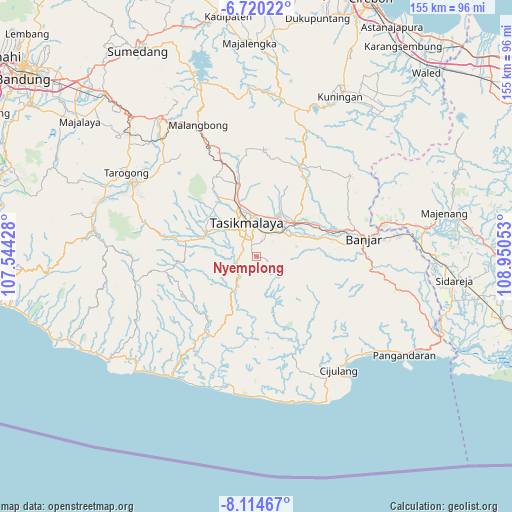
Nyemplong GPS coordinates[2]
7° 25' 4.8" South, 108° 14' 50.64" East
| Map corner | latitude | longitude |
|---|---|---|
| Upper-left | -6.72022°, | 107.54428° |
| Center: | -7.418°, | 108.2474° |
| Lower-right: | -8.11467°, | 108.95053° |
| Map W x H: | 155×155.1 km | = 96.3×96.4mi |
| max Lat: | 5.88969° ⇑53.7% North |
| Nyemplong: | -7.418° |
| min Lat: | ⇓46.3% South -10.934° |
| min Long | Nyemplong | max Long |
| 95.1345° | 108.2474° | 140.9419° |
| W 24.5%⇐ | ⇒75.5% E |
Elevation
Elevation of Nyemplong is 424 m = 1391 ft, and this is 194.3 m = 637 ft above average elevation for this country.
| Max E: |
3185 m = 10449 ft | 20.5% |
| Nyemplong | 424 m 1391 ft | |
| Avg. | 229.7 m = 754 ft | |
Min E: |
-1 m = -3 ft | 79.5% |
See also: Indonesia elevation on elevation.city.
Geographical zone
Nyemplong is located in South Torrid zone (between Equator and Tropic of Capricorn). Distance of Equator is 824.8 km =512.5 mi to North.| Distance of | km | miles | from Nyemplong |
|---|---|---|---|
| Equator | 824.8 | 512.5 | to North |
| Tropic Capricorn | 1781.1 | 1106.7 | to South |
| Antarctic Circle | 6576.4 | 4086.4 | to South |
| South Pole | 9182.3 | 5705.6 | to South |


Nearby cities:
15 places around Nyemplong: (largest is in red/bold)
• Awilega
5.1 km =3.2 mi,  304°
304°
• Bandung
2.5 km =1.6 mi,  35°
35°
• Cianjur Kidul
4.5 km =2.8 mi,  312°
312°
• Cibeureum
3.7 km =2.3 mi,  338°
338°
• Cikopo
4.7 km =2.9 mi,  179°
179°
• Cilangkap
3.9 km =2.4 mi,  166°
166°
• Cinunjang
4 km =2.5 mi,  93°
93°
• Dusundesa
4.3 km =2.7 mi,  70°
70°
• Gegernoong
3.9 km =2.4 mi,  334°
334°
• Jatiwangi
4.5 km =2.8 mi,  14°
14°
• Jayawangi
5.4 km =3.4 mi,  147°
147°
• Kadupandak
5.2 km =3.2 mi, 6°
• Lengkong
5.2 km =3.2 mi,  60°
60°
• Poponcol
5.6 km =3.5 mi,  100°
100°
• Rahayu Dua
5.3 km =3.3 mi, 344°
Sources, notices
• [Note1] Compared only with cities in Indonesia existing in our database
• [Src1] Map data: © OpenStreetMap contributors (CC-BY-SA)
• [Src2] Other city data from geonames.org with taken over terms of usage.
• [Src3] Geographical zone / Annual Mean Temperature by Robert A. Rohde @ Wikipedia
