Padaan geodata
Padaan (Central Java) is a seat of a fourth-order administrative division; located in Indonesia in Asia/Jakarta (GMT+7) time zone. In our database, there are 407 cities with bigger population. Compared to other cities in Indonesia, 69.9% of cities are located further ↓South; 61.7% of cities are located further →East and 50.8% of cities have higher elevation than Padaan. Note1


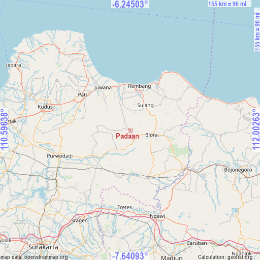
Padaan GPS coordinates[2]
6° 56' 36.6" South, 111° 17' 58.2" East
| Map corner | latitude | longitude |
|---|---|---|
| Upper-left | -6.24503°, | 110.59638° |
| Center: | -6.9435°, | 111.2995° |
| Lower-right: | -7.64093°, | 112.00263° |
| Map W x H: | 155.2×155.2 km | = 96.4×96.4mi |
| max Lat: | 5.88969° ⇑30.1% North |
| Padaan: | -6.9435° |
| min Lat: | ⇓69.9% South -10.934° |
| min Long | Padaan | max Long |
| 95.1345° | 111.2995° | 140.9419° |
| W 38.3%⇐ | ⇒61.7% E |
Elevation
Elevation of Padaan is 99 m = 325 ft, and this is 130.7 m = 429 ft below average elevation for this country.
| Max E: |
3185 m = 10449 ft | 50.8% |
| Avg. | 229.7 m = 754 ft | |
| Padaan | 99 m = 325 ft | |
Min E: |
-1 m = -3 ft | 49.2% |
See also: Indonesia elevation on elevation.city.
Geographical zone
Padaan is located in South Torrid zone (between Equator and Tropic of Capricorn). Distance of Equator is 772 km =479.7 mi to North.| Distance of | km | miles | from Padaan |
|---|---|---|---|
| Equator | 772 | 479.7 | to North |
| Tropic Capricorn | 1833.9 | 1139.5 | to South |
| Antarctic Circle | 6629.1 | 4119.1 | to South |
| South Pole | 9235 | 5738.4 | to South |


Nearby cities:
15 places around Padaan: (largest is in red/bold)
• Beganjing
1.5 km =0.9 mi,  189°
189°
• Bocowanti
3.8 km =2.4 mi,  142°
142°
• Bogorejo
3.2 km =2 mi,  79°
79°
• Japah
1 km =0.6 mi,  277°
277°
• Karangori
1.8 km =1.1 mi,  316°
316°
• Krocok
4.3 km =2.7 mi,  218°
218°
• Ngrambitan
2.3 km =1.4 mi,  159°
159°
• Pengkolrejo
3.3 km =2.1 mi,  124°
124°
• Pulo
4.4 km =2.7 mi, 278°
• Sambongrejo
4.3 km =2.7 mi,  154°
154°
• Sumberejo
3.5 km =2.2 mi,  22°
22°
• Suren
3.3 km =2.1 mi,  172°
172°
• Tlogowungu
2.6 km =1.6 mi,  298°
298°
• Wantil
4.3 km =2.7 mi, 143°
• Wotbakah
2 km =1.2 mi,  91°
91°
Sources, notices
• [Note1] Compared only with cities in Indonesia existing in our database
• [Src1] Map data: © OpenStreetMap contributors (CC-BY-SA)
• [Src2] Other city data from geonames.org with taken over terms of usage.
• [Src3] Geographical zone / Annual Mean Temperature by Robert A. Rohde @ Wikipedia
