Wonokerto geodata
Wonokerto (Central Java) is a seat of a fourth-order administrative division; located in Indonesia in Asia/Jakarta (GMT+7) time zone. In our database, there are 407 cities with bigger population. Compared to other cities in Indonesia, 74.9% of cities are located further ↓South; 56.4% of cities are located further →East and 53.2% of cities have lower elevation than Wonokerto. Note1


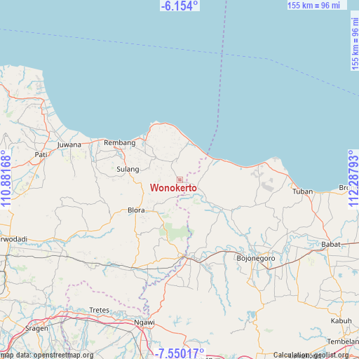
Wonokerto GPS coordinates[2]
6° 51' 9.36" South, 111° 35' 5.28" East
| Map corner | latitude | longitude |
|---|---|---|
| Upper-left | -6.154°, | 110.88168° |
| Center: | -6.8526°, | 111.5848° |
| Lower-right: | -7.55017°, | 112.28793° |
| Map W x H: | 155.2×155.2 km | = 96.4×96.4mi |
| max Lat: | 5.88969° ⇑25.1% North |
| Wonokerto: | -6.8526° |
| min Lat: | ⇓74.9% South -10.934° |
| min Long | Wonokerto | max Long |
| 95.1345° | 111.5848° | 140.9419° |
| W 43.6%⇐ | ⇒56.4% E |
Elevation
Elevation of Wonokerto is 115 m = 377 ft, and this is 114.7 m = 376 ft below average elevation for this country.
| Max E: |
3185 m = 10449 ft | 46.8% |
| Avg. | 229.7 m = 754 ft | |
| Wonokerto | 115 m = 377 ft | |
Min E: |
-1 m = -3 ft | 53.2% |
See also: Indonesia elevation on elevation.city.
Geographical zone
Wonokerto is located in South Torrid zone (between Equator and Tropic of Capricorn). Distance of Equator is 761.9 km =473.4 mi to North.| Distance of | km | miles | from Wonokerto |
|---|---|---|---|
| Equator | 761.9 | 473.4 | to North |
| Tropic Capricorn | 1844 | 1145.8 | to South |
| Antarctic Circle | 6639.2 | 4125.4 | to South |
| South Pole | 9245.1 | 5744.6 | to South |


Nearby cities:
15 places around Wonokerto: (largest is in red/bold)
• Bancang
3.9 km =2.4 mi,  156°
156°
• Gading Barat
4.1 km =2.5 mi,  221°
221°
• Jinanten
2.9 km =1.8 mi,  206°
206°
• Joho
1.5 km =0.9 mi,  174°
174°
• Kaliprak
3.8 km =2.4 mi,  183°
183°
• Karangtengah
6 km =3.7 mi,  119°
119°
• Kebonharjo
4.6 km =2.9 mi,  106°
106°
• Ketodan
6.3 km =3.9 mi,  87°
87°
• Krajan Sale
2.6 km =1.6 mi, 112°
• Mrayun
2.6 km =1.6 mi, 173°
• Ngandang
5.2 km =3.2 mi,  321°
321°
• Sale
2.4 km =1.5 mi, 115°
• Tahunan
5 km =3.1 mi, 224°
• Tengger
4.8 km =3 mi,  290°
290°
• Wangi
5.1 km =3.2 mi, 93°
Sources, notices
• [Note1] Compared only with cities in Indonesia existing in our database
• [Src1] Map data: © OpenStreetMap contributors (CC-BY-SA)
• [Src2] Other city data from geonames.org with taken over terms of usage.
• [Src3] Geographical zone / Annual Mean Temperature by Robert A. Rohde @ Wikipedia
