Tengger geodata
Tengger (East Java) is a seat of a fourth-order administrative division; located in Indonesia in Asia/Jakarta (GMT+7) time zone. In our database, there are 407 cities with bigger population. Compared to other cities in Indonesia, 71.4% of cities are located further ↓South; 52.3% of cities are located further →East and 67.5% of cities have lower elevation than Tengger. Note1


Tengger GPS coordinates[2]
6° 55' 5.88" South, 111° 50' 54.96" East
| Map corner | latitude | longitude |
|---|---|---|
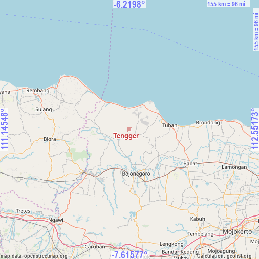
| Upper-left | -6.2198°, | 111.14548° |
| Center: | -6.9183°, | 111.8486° |
| Lower-right: | -7.61577°, | 112.55173° |
| Map W x H: | 155.2×155.2 km | = 96.4×96.4mi |
| max Lat: | 5.88969° ⇑28.6% North |
| Tengger: | -6.9183° |
| min Lat: | ⇓71.4% South -10.934° |
| min Long | Tengger | max Long |
| 95.1345° | 111.8486° | 140.9419° |
| W 47.7%⇐ | ⇒52.3% E |
Elevation
Elevation of Tengger is 257 m = 843 ft, and this is 27.3 m = 90 ft above average elevation for this country.
| Max E: |
3185 m = 10449 ft | 32.5% |
| Tengger | 257 m 843 ft | |
| Avg. | 229.7 m = 754 ft | |
Min E: |
-1 m = -3 ft | 67.5% |
See also: Indonesia elevation on elevation.city.
Geographical zone
Tengger is located in South Torrid zone (between Equator and Tropic of Capricorn). Distance of Equator is 769.2 km =478 mi to North.| Distance of | km | miles | from Tengger |
|---|---|---|---|
| Equator | 769.2 | 478 | to North |
| Tropic Capricorn | 1836.7 | 1141.3 | to South |
| Antarctic Circle | 6631.9 | 4120.9 | to South |
| South Pole | 9237.8 | 5740.1 | to South |


Nearby cities:
15 places around Tengger: (largest is in red/bold)
• Bawi Kulon
3.1 km =1.9 mi,  120°
120°
• Gemulung
6.3 km =3.9 mi,  314°
314°
• Guwoterus
4.6 km =2.9 mi,  210°
210°
• Jarurejo
4.5 km =2.8 mi,  63°
63°
• Kerek
4.9 km =3 mi, 58°
• Margorejo
4.3 km =2.7 mi,  47°
47°
• Mekarsari
5.5 km =3.4 mi,  350°
350°
• Montongsekar
4.9 km =3 mi,  133°
133°
• Ngluwuk
5.4 km =3.4 mi,  32°
32°
• Padasan
6.3 km =3.9 mi,  75°
75°
• Sidomulyo
4.7 km =2.9 mi,  16°
16°
• Sidonganti
3 km =1.9 mi,  263°
263°
• Talangkembar
4.5 km =2.8 mi,  165°
165°
• Temayang
4.8 km =3 mi,  70°
70°
• Trantang
4.8 km =3 mi, 311°
Sources, notices
• [Note1] Compared only with cities in Indonesia existing in our database
• [Src1] Map data: © OpenStreetMap contributors (CC-BY-SA)
• [Src2] Other city data from geonames.org with taken over terms of usage.
• [Src3] Geographical zone / Annual Mean Temperature by Robert A. Rohde @ Wikipedia
