Talun geodata
Talun (East Java) is a seat of a fourth-order administrative division; located in Indonesia in Asia/Jakarta (GMT+7) time zone. In our database, there are 407 cities with bigger population. Compared to other cities in Indonesia, 69.5% of cities are located further ↓South; 51% of cities are located further →East and 62.3% of cities have lower elevation than Talun. Note1


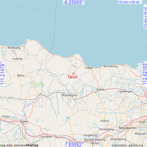
Talun GPS coordinates[2]
6° 57' 12.6" South, 111° 55' 4.44" East
| Map corner | latitude | longitude |
|---|---|---|
| Upper-left | -6.25505°, | 111.21478° |
| Center: | -6.9535°, | 111.9179° |
| Lower-right: | -7.65092°, | 112.62103° |
| Map W x H: | 155.2×155.2 km | = 96.4×96.4mi |
| max Lat: | 5.88969° ⇑30.5% North |
| Talun: | -6.9535° |
| min Lat: | ⇓69.5% South -10.934° |
| min Long | Talun | max Long |
| 95.1345° | 111.9179° | 140.9419° |
| W 49%⇐ | ⇒51% E |
Elevation
Elevation of Talun is 188 m = 617 ft, and this is 41.7 m = 137 ft below average elevation for this country.
| Max E: |
3185 m = 10449 ft | 37.7% |
| Avg. | 229.7 m = 754 ft | |
| Talun | 188 m = 617 ft | |
Min E: |
-1 m = -3 ft | 62.3% |
See also: Indonesia elevation on elevation.city.
Geographical zone
Talun is located in South Torrid zone (between Equator and Tropic of Capricorn). Distance of Equator is 773.2 km =480.4 mi to North.| Distance of | km | miles | from Talun |
|---|---|---|---|
| Equator | 773.2 | 480.4 | to North |
| Tropic Capricorn | 1832.8 | 1138.8 | to South |
| Antarctic Circle | 6628 | 4118.4 | to South |
| South Pole | 9233.9 | 5737.7 | to South |


Nearby cities:
15 places around Talun: (largest is in red/bold)
• Bawi Kulon
5.5 km =3.4 mi,  295°
295°
• Bean
2.2 km =1.4 mi,  237°
237°
• Bringin
6 km =3.7 mi,  195°
195°
• Jadi
8.2 km =5.1 mi,  95°
95°
• Jarurejo
7 km =4.3 mi,  328°
328°
• Jetak
1.2 km =0.7 mi,  255°
255°
• Karangmulyo
7.1 km =4.4 mi,  350°
350°
• Kerek
7.4 km =4.6 mi, 331°
• Montongsekar
4.1 km =2.5 mi,  277°
277°
• Padasan
5.8 km =3.6 mi,  344°
344°
• Pakel
2.3 km =1.4 mi, 261°
• Pucangan
2.2 km =1.4 mi, 298°
• Talangkembar
6.5 km =4 mi,  266°
266°
• Temayang
6.3 km =3.9 mi, 330°
• Waleran
7.4 km =4.6 mi,  135°
135°
Sources, notices
• [Note1] Compared only with cities in Indonesia existing in our database
• [Src1] Map data: © OpenStreetMap contributors (CC-BY-SA)
• [Src2] Other city data from geonames.org with taken over terms of usage.
• [Src3] Geographical zone / Annual Mean Temperature by Robert A. Rohde @ Wikipedia
