Gedongombo geodata
Gedongombo (East Java) is a seat of a third-order administrative division; located in Indonesia in Asia/Jakarta (GMT+7) time zone. In our database, there are 407 cities with bigger population. Compared to other cities in Indonesia, 72% of cities are located further ↓South; 50.7% of cities are located further ←West and 77.1% of cities have higher elevation than Gedongombo. Note1


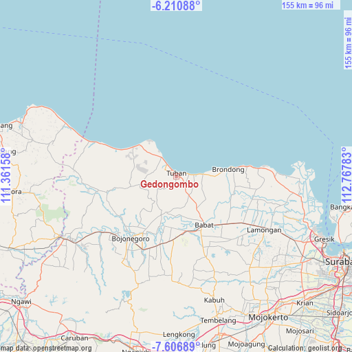
Gedongombo GPS coordinates[2]
6° 54' 33.84" South, 112° 3' 52.92" East
| Map corner | latitude | longitude |
|---|---|---|
| Upper-left | -6.21088°, | 111.36158° |
| Center: | -6.9094°, | 112.0647° |
| Lower-right: | -7.60689°, | 112.76783° |
| Map W x H: | 155.2×155.2 km | = 96.4×96.4mi |
| max Lat: | 5.88969° ⇑28% North |
| Gedongombo: | -6.9094° |
| min Lat: | ⇓72% South -10.934° |
| min Long | Gedongombo | max Long |
| 95.1345° | 112.0647° | 140.9419° |
| W 50.7%⇐ | ⇒49.3% E |
Elevation
Elevation of Gedongombo is 22 m = 72 ft, and this is 207.7 m = 681 ft below average elevation for this country.
| Max E: |
3185 m = 10449 ft | 77.1% |
| Avg. | 229.7 m = 754 ft | |
| Gedongombo | 22 m = 72 ft | |
Min E: |
-1 m = -3 ft | 22.9% |
See also: Indonesia elevation on elevation.city.
Geographical zone
Gedongombo is located in South Torrid zone (between Equator and Tropic of Capricorn). Distance of Equator is 768.3 km =477.4 mi to North.| Distance of | km | miles | from Gedongombo |
|---|---|---|---|
| Equator | 768.3 | 477.4 | to North |
| Tropic Capricorn | 1837.7 | 1141.9 | to South |
| Antarctic Circle | 6632.9 | 4121.5 | to South |
| South Pole | 9238.8 | 5740.7 | to South |


Nearby cities:
15 places around Gedongombo: (largest is in red/bold)
• Bejagung Kidul
1.2 km =0.7 mi,  185°
185°
• Kajongan
1.9 km =1.2 mi,  345°
345°
• Karang
1 km =0.6 mi,  275°
275°
• Kebonsari
0.6 km =0.4 mi,  357°
357°
• Krajan Bejagung
0.7 km =0.4 mi, 188°
• Kuncen
1.4 km =0.9 mi,  28°
28°
• Kutorejo
1.7 km =1.1 mi, 353°
• Merik
1.9 km =1.2 mi,  295°
295°
• Pericik
2 km =1.2 mi,  222°
222°
• Semanding Barat
1.8 km =1.1 mi,  179°
179°
• Sendangharjo
1.7 km =1.1 mi,  12°
12°
• Sidomukti
1 km =0.6 mi,  316°
316°
• Sukolilo
2 km =1.2 mi,  42°
42°
• Tegalagung
1.7 km =1.1 mi,  253°
253°
• Tuban
1.3 km =0.8 mi,  0°
0°
Sources, notices
• [Note1] Compared only with cities in Indonesia existing in our database
• [Src1] Map data: © OpenStreetMap contributors (CC-BY-SA)
• [Src2] Other city data from geonames.org with taken over terms of usage.
• [Src3] Geographical zone / Annual Mean Temperature by Robert A. Rohde @ Wikipedia
