Souktuanan geodata
Souktuanan (East Nusa Tenggara) is a seat of a fourth-order administrative division; located in Indonesia in Asia/Makassar (GMT+8) time zone. In our database, there are 407 cities with bigger population. Compared to other cities in Indonesia, 99.8% of cities are located further ↑North; 90.6% of cities are located further ←West and 61.2% of cities have lower elevation than Souktuanan. Note1


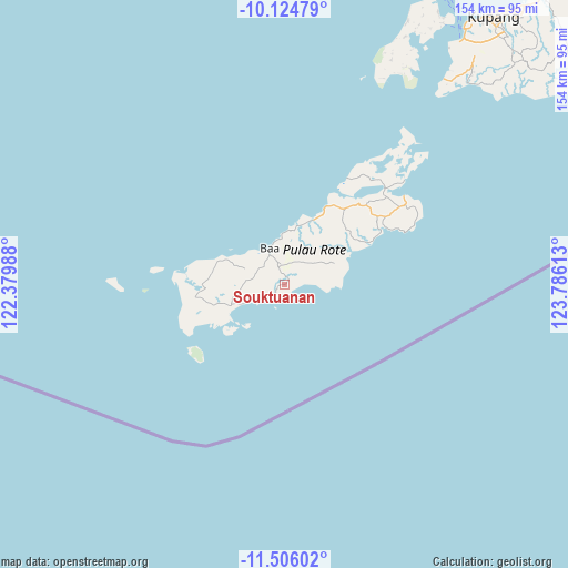
Souktuanan GPS coordinates[2]
10° 48' 58.32" South, 123° 4' 58.8" East
| Map corner | latitude | longitude |
|---|---|---|
| Upper-left | -10.12479°, | 122.37988° |
| Center: | -10.8162°, | 123.083° |
| Lower-right: | -11.50602°, | 123.78613° |
| Map W x H: | 153.6×153.6 km | = 95.4×95.4mi |
| max Lat: | 5.88969° ⇑99.8% North |
| Souktuanan: | -10.8162° |
| min Lat: | ⇓0.2% South -10.934° |
| min Long | Souktuanan | max Long |
| 95.1345° | 123.083° | 140.9419° |
| W 90.6%⇐ | ⇒9.4% E |
Elevation
Elevation of Souktuanan is 177 m = 581 ft, and this is 52.7 m = 173 ft below average elevation for this country.
| Max E: |
3185 m = 10449 ft | 38.8% |
| Avg. | 229.7 m = 754 ft | |
| Souktuanan | 177 m = 581 ft | |
Min E: |
-1 m = -3 ft | 61.2% |
See also: Indonesia elevation on elevation.city.
Geographical zone
Souktuanan is located in South Torrid zone (between Equator and Tropic of Capricorn). Distance of Equator is 1202.6 km =747.3 mi to North.| Distance of | km | miles | from Souktuanan |
|---|---|---|---|
| Equator | 1202.6 | 747.3 | to North |
| Tropic Capricorn | 1403.3 | 872 | to South |
| Antarctic Circle | 6198.5 | 3851.6 | to South |
| South Pole | 8804.4 | 5470.8 | to South |


Nearby cities:
15 places around Souktuanan: (largest is in red/bold)
• Alukama
9 km =5.6 mi,  333°
333°
• Asamboka
7.3 km =4.5 mi,  311°
311°
• Busalangga
8.8 km =5.5 mi,  278°
278°
• Deranitan
9.2 km =5.7 mi,  236°
236°
• Gayabaru
4.1 km =2.5 mi,  222°
222°
• Kolobolon
5.9 km =3.7 mi,  75°
75°
• Laes
6.8 km =4.2 mi, 243°
• Lekik
5.2 km =3.2 mi,  21°
21°
• Likioen
8.6 km =5.3 mi, 330°
• Nggalai Barat
7 km =4.3 mi,  258°
258°
• Oebatu
7.7 km =4.8 mi,  271°
271°
• Oele
9 km =5.6 mi,  67°
67°
• Oelunggu Satu
9.8 km =6.1 mi,  349°
349°
• Oemaulain
8.9 km =5.5 mi,  322°
322°
• Sanggaoen
7 km =4.3 mi, 322°
Sources, notices
• [Note1] Compared only with cities in Indonesia existing in our database
• [Src1] Map data: © OpenStreetMap contributors (CC-BY-SA)
• [Src2] Other city data from geonames.org with taken over terms of usage.
• [Src3] Geographical zone / Annual Mean Temperature by Robert A. Rohde @ Wikipedia
