Kajisara geodata
Kajisara (East Java) is a seat of a fourth-order administrative division; located in Indonesia in Asia/Jakarta (GMT+7) time zone. In our database, there are 407 cities with bigger population. Compared to other cities in Indonesia, 74% of cities are located further ↓South; 75% of cities are located further ←West and 98.5% of cities have higher elevation than Kajisara. Note1


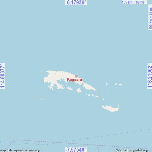
Kajisara GPS coordinates[2]
6° 52' 40.512" South, 115° 30' 24.804" East
| Map corner | latitude | longitude |
|---|---|---|
| Upper-left | -6.17936°, | 114.80377° |
| Center: | -6.87792°, | 115.50689° |
| Lower-right: | -7.57546°, | 116.21002° |
| Map W x H: | 155.2×155.2 km | = 96.4×96.4mi |
| max Lat: | 5.88969° ⇑26% North |
| Kajisara: | -6.87792° |
| min Lat: | ⇓74% South -10.934° |
| min Long | Kajisara | max Long |
| 95.1345° | 115.50689° | 140.9419° |
| W 75%⇐ | ⇒25% E |
Elevation
Elevation of Kajisara is 5 m = 16 ft, and this is 224.7 m = 737 ft below average elevation for this country.
| Max E: |
3185 m = 10449 ft | 98.5% |
| Avg. | 229.7 m = 754 ft | |
| Kajisara | 5 m = 16 ft | |
Min E: |
-1 m = -3 ft | 1.5% |
See also: Indonesia elevation on elevation.city.
Geographical zone
Kajisara is located in South Torrid zone (between Equator and Tropic of Capricorn). Distance of Equator is 764.8 km =475.2 mi to North.| Distance of | km | miles | from Kajisara |
|---|---|---|---|
| Equator | 764.8 | 475.2 | to North |
| Tropic Capricorn | 1841.2 | 1144.1 | to South |
| Antarctic Circle | 6636.4 | 4123.7 | to South |
| South Pole | 9242.3 | 5742.9 | to South |


Nearby cities:
15 places around Kajisara: (largest is in red/bold)
• Bantilan
15.4 km =9.6 mi,  287°
287°
• Baratsungai
8.4 km =5.2 mi,  254°
254°
• Batuputih Atas
15.1 km =9.4 mi,  271°
271°
• Beting
21.8 km =13.5 mi,  276°
276°
• Kayuaru
6.9 km =4.3 mi,  124°
124°
• Kolla
17.5 km =10.9 mi, 268°
• Larangan
21.2 km =13.2 mi, 266°
• Mesjid
14.3 km =8.9 mi,  216°
216°
• Pajannangger
16.6 km =10.3 mi,  226°
226°
• Pasar
20.8 km =12.9 mi, 275°
• Pasarbaru
21 km =13 mi, 275°
• Susunan
23.2 km =14.4 mi,  126°
126°
• Tembayangan Barat
9.7 km =6 mi, 266°
• Toroh
14.9 km =9.3 mi,  165°
165°
• Wakaf
18.8 km =11.7 mi, 284°
Sources, notices
• [Note1] Compared only with cities in Indonesia existing in our database
• [Src1] Map data: © OpenStreetMap contributors (CC-BY-SA)
• [Src2] Other city data from geonames.org with taken over terms of usage.
• [Src3] Geographical zone / Annual Mean Temperature by Robert A. Rohde @ Wikipedia
