Susunan geodata
Susunan (East Java) is a seat of a fourth-order administrative division; located in Indonesia in Asia/Jakarta (GMT+7) time zone. In our database, there are 407 cities with bigger population. Compared to other cities in Indonesia, 65.8% of cities are located further ↓South; 75.7% of cities are located further ←West and 79.9% of cities have higher elevation than Susunan. Note1


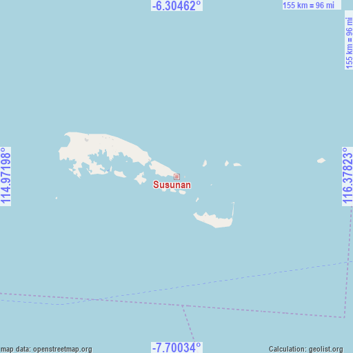
Susunan GPS coordinates[2]
7° 0' 10.8" South, 115° 40' 30.36" East
| Map corner | latitude | longitude |
|---|---|---|
| Upper-left | -6.30462°, | 114.97198° |
| Center: | -7.003°, | 115.6751° |
| Lower-right: | -7.70034°, | 116.37823° |
| Map W x H: | 155.2×155.2 km | = 96.4×96.4mi |
| max Lat: | 5.88969° ⇑34.2% North |
| Susunan: | -7.003° |
| min Lat: | ⇓65.8% South -10.934° |
| min Long | Susunan | max Long |
| 95.1345° | 115.6751° | 140.9419° |
| W 75.7%⇐ | ⇒24.3% E |
Elevation
Elevation of Susunan is 19 m = 62 ft, and this is 210.7 m = 691 ft below average elevation for this country.
| Max E: |
3185 m = 10449 ft | 79.9% |
| Avg. | 229.7 m = 754 ft | |
| Susunan | 19 m = 62 ft | |
Min E: |
-1 m = -3 ft | 20.1% |
See also: Indonesia elevation on elevation.city.
Geographical zone
Susunan is located in South Torrid zone (between Equator and Tropic of Capricorn). Distance of Equator is 778.7 km =483.9 mi to North.| Distance of | km | miles | from Susunan |
|---|---|---|---|
| Equator | 778.7 | 483.9 | to North |
| Tropic Capricorn | 1827.3 | 1135.4 | to South |
| Antarctic Circle | 6622.5 | 4115 | to South |
| South Pole | 9228.4 | 5734.3 | to South |


Nearby cities:
15 places around Susunan: (largest is in red/bold)
• Bantilan
38 km =23.6 mi,  299°
299°
• Baratsungai
29.1 km =18.1 mi,  293°
293°
• Batuputih Atas
36.5 km =22.7 mi, 293°
• Kajisara
23.2 km =14.4 mi,  306°
306°
• Kayuaru
16.3 km =10.1 mi, 307°
• Kolla
38.4 km =23.9 mi, 290°
• Larangan
41.6 km =25.8 mi, 287°
• Mesjid
27.2 km =16.9 mi,  275°
275°
• Pajannangger
30.7 km =19.1 mi,  274°
274°
• Sapeken
3.4 km =2.1 mi,  93°
93°
• Saseel
14 km =8.7 mi,  134°
134°
• Sepanjang
23.1 km =14.4 mi,  148°
148°
• Tembayangan Barat
31.3 km =19.4 mi, 295°
• Toroh
14.9 km =9.3 mi, 267°
• Wakaf
41.2 km =25.6 mi, 296°
Sources, notices
• [Note1] Compared only with cities in Indonesia existing in our database
• [Src1] Map data: © OpenStreetMap contributors (CC-BY-SA)
• [Src2] Other city data from geonames.org with taken over terms of usage.
• [Src3] Geographical zone / Annual Mean Temperature by Robert A. Rohde @ Wikipedia
