Sepanjang geodata
Sepanjang (East Java) is a seat of a fourth-order administrative division; located in Indonesia in Asia/Jakarta (GMT+7) time zone. In our database, there are 407 cities with bigger population. Compared to other cities in Indonesia, 56.1% of cities are located further ↓South; 75.7% of cities are located further ←West and 97.2% of cities have higher elevation than Sepanjang. Note1


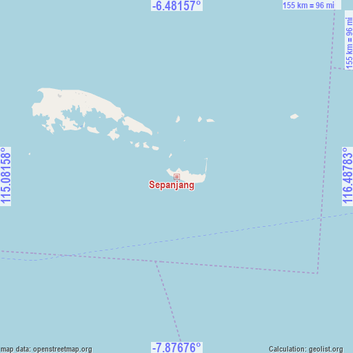
Sepanjang GPS coordinates[2]
7° 10' 46.92" South, 115° 47' 4.92" East
| Map corner | latitude | longitude |
|---|---|---|
| Upper-left | -6.48157°, | 115.08158° |
| Center: | -7.1797°, | 115.7847° |
| Lower-right: | -7.87676°, | 116.48783° |
| Map W x H: | 155.1×155.1 km | = 96.4×96.4mi |
| max Lat: | 5.88969° ⇑43.9% North |
| Sepanjang: | -7.1797° |
| min Lat: | ⇓56.1% South -10.934° |
| min Long | Sepanjang | max Long |
| 95.1345° | 115.7847° | 140.9419° |
| W 75.7%⇐ | ⇒24.3% E |
Elevation
Elevation of Sepanjang is 6 m = 20 ft, and this is 223.7 m = 734 ft below average elevation for this country.
| Max E: |
3185 m = 10449 ft | 97.2% |
| Avg. | 229.7 m = 754 ft | |
| Sepanjang | 6 m = 20 ft | |
Min E: |
-1 m = -3 ft | 2.8% |
See also: Indonesia elevation on elevation.city.
Geographical zone
Sepanjang is located in South Torrid zone (between Equator and Tropic of Capricorn). Distance of Equator is 798.3 km =496 mi to North.| Distance of | km | miles | from Sepanjang |
|---|---|---|---|
| Equator | 798.3 | 496 | to North |
| Tropic Capricorn | 1807.6 | 1123.2 | to South |
| Antarctic Circle | 6602.9 | 4102.9 | to South |
| South Pole | 9208.8 | 5722.1 | to South |


Nearby cities:
15 places around Sepanjang: (largest is in red/bold)
• Bantilan
59.3 km =36.8 mi,  310°
310°
• Baratsungai
49.8 km =30.9 mi, 308°
• Batuputih Atas
56.9 km =35.4 mi, 306°
• Kajisara
45.5 km =28.3 mi,  317°
317°
• Kayuaru
38.8 km =24.1 mi, 319°
• Kolla
58.3 km =36.2 mi,  304°
304°
• Larangan
61 km =37.9 mi, 301°
• Mesjid
44.9 km =27.9 mi, 299°
• Pajannangger
48.1 km =29.9 mi, 297°
• Sapeken
21.3 km =13.2 mi,  336°
336°
• Saseel
10.1 km =6.3 mi,  347°
347°
• Susunan
23.1 km =14.4 mi,  328°
328°
• Tembang
60.9 km =37.8 mi,  290°
290°
• Tembayangan Barat
52.2 km =32.4 mi, 309°
• Toroh
33.1 km =20.6 mi, 305°
Sources, notices
• [Note1] Compared only with cities in Indonesia existing in our database
• [Src1] Map data: © OpenStreetMap contributors (CC-BY-SA)
• [Src2] Other city data from geonames.org with taken over terms of usage.
• [Src3] Geographical zone / Annual Mean Temperature by Robert A. Rohde @ Wikipedia
