Mulandoro geodata
Mulandoro (East Nusa Tenggara) is a seat of a fourth-order administrative division; located in Indonesia in Asia/Makassar (GMT+8) time zone. In our database, there are 407 cities with bigger population. Compared to other cities in Indonesia, 84.8% of cities are located further ↑North; 92.4% of cities are located further ←West and 54.3% of cities have higher elevation than Mulandoro. Note1


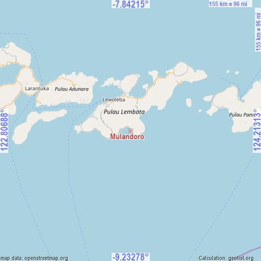
Mulandoro GPS coordinates[2]
8° 32' 17.16" South, 123° 30' 36" East
| Map corner | latitude | longitude |
|---|---|---|
| Upper-left | -7.84215°, | 122.80688° |
| Center: | -8.5381°, | 123.51° |
| Lower-right: | -9.23278°, | 124.21313° |
| Map W x H: | 154.6×154.6 km | = 96.1×96.1mi |
| max Lat: | 5.88969° ⇑84.8% North |
| Mulandoro: | -8.5381° |
| min Lat: | ⇓15.2% South -10.934° |
| min Long | Mulandoro | max Long |
| 95.1345° | 123.51° | 140.9419° |
| W 92.4%⇐ | ⇒7.6% E |
Elevation
Elevation of Mulandoro is 88 m = 289 ft, and this is 141.7 m = 465 ft below average elevation for this country.
| Max E: |
3185 m = 10449 ft | 54.3% |
| Avg. | 229.7 m = 754 ft | |
| Mulandoro | 88 m = 289 ft | |
Min E: |
-1 m = -3 ft | 45.7% |
See also: Indonesia elevation on elevation.city.
Geographical zone
Mulandoro is located in South Torrid zone (between Equator and Tropic of Capricorn). Distance of Equator is 949.3 km =589.9 mi to North.| Distance of | km | miles | from Mulandoro |
|---|---|---|---|
| Equator | 949.3 | 589.9 | to North |
| Tropic Capricorn | 1656.6 | 1029.4 | to South |
| Antarctic Circle | 6451.8 | 4009 | to South |
| South Pole | 9057.7 | 5628.2 | to South |


Nearby cities:
15 places around Mulandoro: (largest is in red/bold)
• Atawolo
3.2 km =2 mi,  26°
26°
• Bakan
9.1 km =5.7 mi,  331°
331°
• Imulolong
11.2 km =7 mi,  265°
265°
• Karangora
10 km =6.2 mi,  358°
358°
• Labala
3.3 km =2.1 mi,  321°
321°
• Lamalera
10.3 km =6.4 mi,  246°
246°
• Lerek
4.3 km =2.7 mi,  66°
66°
• Lewuka
8.1 km =5 mi,  303°
303°
• Luki
6.3 km =3.9 mi,  277°
277°
• Mulankera
3.6 km =2.2 mi,  311°
311°
• Paulolong
5.6 km =3.5 mi,  348°
348°
• Puor
10.9 km =6.8 mi, 271°
• Tobilolong
3.4 km =2.1 mi,  55°
55°
• Waiwejak
4.6 km =2.9 mi,  17°
17°
• Watuwawer
4.9 km =3 mi,  45°
45°
Sources, notices
• [Note1] Compared only with cities in Indonesia existing in our database
• [Src1] Map data: © OpenStreetMap contributors (CC-BY-SA)
• [Src2] Other city data from geonames.org with taken over terms of usage.
• [Src3] Geographical zone / Annual Mean Temperature by Robert A. Rohde @ Wikipedia
