Cua geodata
Cua (East Nusa Tenggara) is a seat of a fourth-order administrative division; located in Indonesia in Asia/Makassar (GMT+8) time zone. In our database, there are 407 cities with bigger population. Compared to other cities in Indonesia, 77.8% of cities are located further ↑North; 87.1% of cities are located further ←West and 71.8% of cities have lower elevation than Cua. Note1


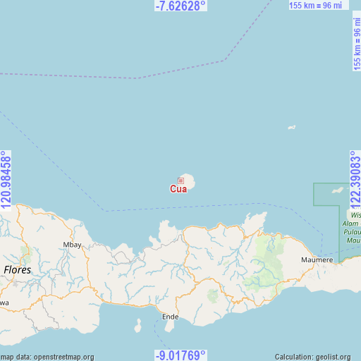
Cua GPS coordinates[2]
8° 19' 21.36" South, 121° 41' 15.72" East
| Map corner | latitude | longitude |
|---|---|---|
| Upper-left | -7.62628°, | 120.98458° |
| Center: | -8.3226°, | 121.6877° |
| Lower-right: | -9.01769°, | 122.39083° |
| Map W x H: | 154.7×154.7 km | = 96.1×96.1mi |
| max Lat: | 5.88969° ⇑77.8% North |
| Cua: | -8.3226° |
| min Lat: | ⇓22.2% South -10.934° |
| min Long | Cua | max Long |
| 95.1345° | 121.6877° | 140.9419° |
| W 87.1%⇐ | ⇒12.9% E |
Elevation
Elevation of Cua is 319 m = 1047 ft, and this is 89.3 m = 293 ft above average elevation for this country.
| Max E: |
3185 m = 10449 ft | 28.2% |
| Cua | 319 m 1047 ft | |
| Avg. | 229.7 m = 754 ft | |
Min E: |
-1 m = -3 ft | 71.8% |
See also: Indonesia elevation on elevation.city.
Geographical zone
Cua is located in South Torrid zone (between Equator and Tropic of Capricorn). Distance of Equator is 925.4 km =575 mi to North.| Distance of | km | miles | from Cua |
|---|---|---|---|
| Equator | 925.4 | 575 | to North |
| Tropic Capricorn | 1680.5 | 1044.2 | to South |
| Antarctic Circle | 6475.8 | 4023.9 | to South |
| South Pole | 9081.7 | 5643.1 | to South |


Nearby cities:
15 places around Cua: (largest is in red/bold)
• Aelande
30.6 km =19 mi,  172°
172°
• Cawalo
1.7 km =1.1 mi,  41°
41°
• Detuwane
24.2 km =15 mi,  151°
151°
• Edo
4.6 km =2.9 mi,  72°
72°
• Jalasenga
26.4 km =16.4 mi, 150°
• Lei
2.4 km =1.5 mi,  52°
52°
• Loboniki
33.8 km =21 mi,  128°
128°
• Londe
31.9 km =19.8 mi, 171°
• Maurole
24.4 km =15.2 mi, 148°
• Mukusaki
28.1 km =17.5 mi,  196°
196°
• Natu
6.2 km =3.9 mi,  108°
108°
• Rerawere
31.2 km =19.4 mi, 203°
• Uwa
5.1 km =3.2 mi,  55°
55°
• Welamosa
31.7 km =19.7 mi, 174°
• Wolomuku
31.8 km =19.8 mi, 169°
Sources, notices
• [Note1] Compared only with cities in Indonesia existing in our database
• [Src1] Map data: © OpenStreetMap contributors (CC-BY-SA)
• [Src2] Other city data from geonames.org with taken over terms of usage.
• [Src3] Geographical zone / Annual Mean Temperature by Robert A. Rohde @ Wikipedia
