Cawalo geodata
Cawalo (East Nusa Tenggara) is a seat of a fourth-order administrative division; located in Indonesia in Asia/Makassar (GMT+8) time zone. In our database, there are 407 cities with bigger population. Compared to other cities in Indonesia, 77.3% of cities are located further ↑North; 87.1% of cities are located further ←West and 75.5% of cities have lower elevation than Cawalo. Note1


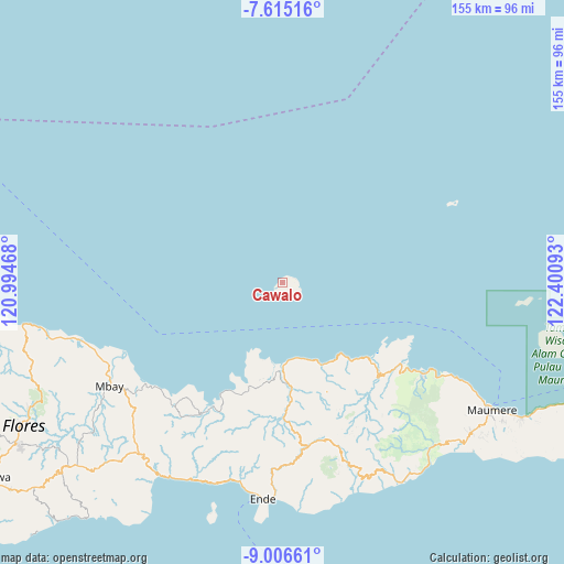
Cawalo GPS coordinates[2]
8° 18' 41.4" South, 121° 41' 52.08" East
| Map corner | latitude | longitude |
|---|---|---|
| Upper-left | -7.61516°, | 120.99468° |
| Center: | -8.3115°, | 121.6978° |
| Lower-right: | -9.00661°, | 122.40093° |
| Map W x H: | 154.7×154.7 km | = 96.1×96.1mi |
| max Lat: | 5.88969° ⇑77.3% North |
| Cawalo: | -8.3115° |
| min Lat: | ⇓22.7% South -10.934° |
| min Long | Cawalo | max Long |
| 95.1345° | 121.6978° | 140.9419° |
| W 87.1%⇐ | ⇒12.9% E |
Elevation
Elevation of Cawalo is 365 m = 1198 ft, and this is 135.3 m = 444 ft above average elevation for this country.
| Max E: |
3185 m = 10449 ft | 24.5% |
| Cawalo | 365 m 1198 ft | |
| Avg. | 229.7 m = 754 ft | |
Min E: |
-1 m = -3 ft | 75.5% |
See also: Indonesia elevation on elevation.city.
Geographical zone
Cawalo is located in South Torrid zone (between Equator and Tropic of Capricorn). Distance of Equator is 924.2 km =574.3 mi to North.| Distance of | km | miles | from Cawalo |
|---|---|---|---|
| Equator | 924.2 | 574.3 | to North |
| Tropic Capricorn | 1681.8 | 1045 | to South |
| Antarctic Circle | 6477 | 4024.6 | to South |
| South Pole | 9082.9 | 5643.9 | to South |


Nearby cities:
15 places around Cawalo: (largest is in red/bold)
• Aelande
31.7 km =19.7 mi,  174°
174°
• Cua
1.7 km =1.1 mi,  221°
221°
• Detuwane
24.8 km =15.4 mi,  155°
155°
• Edo
3.3 km =2.1 mi,  86°
86°
• Jalasenga
27 km =16.8 mi,  154°
154°
• Lei
0.8 km =0.5 mi,  74°
74°
• Loboniki
33.7 km =20.9 mi,  131°
131°
• Londe
32.9 km =20.4 mi, 174°
• Maurole
25 km =15.5 mi, 152°
• Mukusaki
29.6 km =18.4 mi,  197°
197°
• Natu
5.7 km =3.5 mi,  123°
123°
• Rerawere
32.8 km =20.4 mi, 204°
• Uwa
3.5 km =2.2 mi,  62°
62°
• Welamosa
32.8 km =20.4 mi,  176°
176°
• Wolomuku
32.9 km =20.4 mi, 171°
Sources, notices
• [Note1] Compared only with cities in Indonesia existing in our database
• [Src1] Map data: © OpenStreetMap contributors (CC-BY-SA)
• [Src2] Other city data from geonames.org with taken over terms of usage.
• [Src3] Geographical zone / Annual Mean Temperature by Robert A. Rohde @ Wikipedia
