Pasararba geodata
Pasararba (South Kalimantan) is a seat of a third-order administrative division; located in Indonesia in Asia/Makassar (GMT+8) time zone. In our database, there are 407 cities with bigger population. Compared to other cities in Indonesia, 92.6% of cities are located further ↓South; 73.7% of cities are located further ←West and 85.2% of cities have higher elevation than Pasararba. Note1


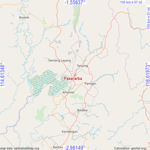
Pasararba GPS coordinates[2]
2° 15' 32.76" South, 115° 18' 59.76" East
| Map corner | latitude | longitude |
|---|---|---|
| Upper-left | -1.55637°, | 114.61348° |
| Center: | -2.2591°, | 115.3166° |
| Lower-right: | -2.96149°, | 116.01973° |
| Map W x H: | 156.2×156.2 km | = 97.1×97.1mi |
| max Lat: | 5.88969° ⇑7.4% North |
| Pasararba: | -2.2591° |
| min Lat: | ⇓92.6% South -10.934° |
| min Long | Pasararba | max Long |
| 95.1345° | 115.3166° | 140.9419° |
| W 73.7%⇐ | ⇒26.3% E |
Elevation
Elevation of Pasararba is 14 m = 46 ft, and this is 215.7 m = 708 ft below average elevation for this country.
| Max E: |
3185 m = 10449 ft | 85.2% |
| Avg. | 229.7 m = 754 ft | |
| Pasararba | 14 m = 46 ft | |
Min E: |
-1 m = -3 ft | 14.8% |
See also: Indonesia elevation on elevation.city.
Geographical zone
Pasararba is located in South Torrid zone (between Equator and Tropic of Capricorn). Distance of Equator is 251.2 km =156.1 mi to North.| Distance of | km | miles | from Pasararba |
|---|---|---|---|
| Equator | 251.2 | 156.1 | to North |
| Tropic Capricorn | 2354.7 | 1463.1 | to South |
| Antarctic Circle | 7150 | 4442.8 | to South |
| South Pole | 9755.9 | 6062 | to South |


Nearby cities:
15 places around Pasararba: (largest is in red/bold)
• Alabio
23.1 km =14.4 mi,  200°
200°
• Alung
31.1 km =19.3 mi,  156°
156°
• Amuntai
19.2 km =11.9 mi, 202°
• Batumandi
22.8 km =14.2 mi,  142°
142°
• Juai
27.7 km =17.2 mi,  100°
100°
• Kelua
11 km =6.8 mi,  56°
56°
• Lampihung
27.1 km =16.8 mi,  120°
120°
• Mungkuruyam
28.8 km =17.9 mi,  91°
91°
• Paringin
19.5 km =12.1 mi, 115°
• Putatbasiun
29.7 km =18.5 mi,  127°
127°
• Sungaiturak
13.1 km =8.1 mi, 143°
• Tamiang Layang
20.2 km =12.6 mi,  318°
318°
• Tanjung
14.1 km =8.8 mi,  45°
45°
• Tanta
15.4 km =9.6 mi,  77°
77°
• Telagaselaba
13.8 km =8.6 mi,  181°
181°
Sources, notices
• [Note1] Compared only with cities in Indonesia existing in our database
• [Src1] Map data: © OpenStreetMap contributors (CC-BY-SA)
• [Src2] Other city data from geonames.org with taken over terms of usage.
• [Src3] Geographical zone / Annual Mean Temperature by Robert A. Rohde @ Wikipedia
