Susoh geodata
Susoh (Aceh) is a seat of a third-order administrative division; located in Indonesia in Asia/Jakarta (GMT+7) time zone. In our database, there are 407 cities with bigger population. Compared to other cities in Indonesia, 98.5% of cities are located further ↓South; 99.2% of cities are located further →East and 92.1% of cities have higher elevation than Susoh. Note1


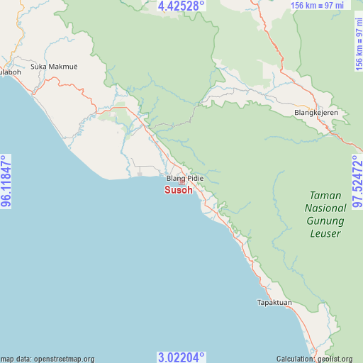
Susoh GPS coordinates[2]
3° 43' 26.184" North, 96° 49' 17.724" East
| Map corner | latitude | longitude |
|---|---|---|
| Upper-left | 4.42528°, | 96.11847° |
| Center: | 3.72394°, | 96.82159° |
| Lower-right: | 3.02204°, | 97.52472° |
| Map W x H: | 156×156 km | = 96.9×96.9mi |
| max Lat: | 5.88969° ⇑1.5% North |
| Susoh: | 3.72394° |
| min Lat: | ⇓98.5% South -10.934° |
| min Long | Susoh | max Long |
| 95.1345° | 96.82159° | 140.9419° |
| W 0.8%⇐ | ⇒99.2% E |
Elevation
Elevation of Susoh is 9 m = 30 ft, and this is 220.7 m = 724 ft below average elevation for this country.
| Max E: |
3185 m = 10449 ft | 92.1% |
| Avg. | 229.7 m = 754 ft | |
| Susoh | 9 m = 30 ft | |
Min E: |
-1 m = -3 ft | 7.9% |
See also: Indonesia elevation on elevation.city.
Geographical zone
Susoh is located in North Torrid zone (between Equator and Tropic of Cancer). Distance of Equator is 414.1 km =257.3 mi to South.| Distance of | km | miles | from Susoh |
|---|---|---|---|
| North Pole | 9593 | 5960.8 | to North |
| Arctic Circle | 6987.1 | 4341.6 | to North |
| Tropic Cancer | 2191.9 | 1362 | to North |
| Equator | 414.1 | 257.3 | to South |


Nearby cities:
15 places around Susoh: (largest is in red/bold)
• Alue Bilie
42.6 km =26.5 mi,  317°
317°
• Babah Rot
27.1 km =16.8 mi,  327°
327°
• Blangpidie
2.4 km =1.5 mi,  42°
42°
• Kota Trieng
21 km =13 mi,  131°
131°
• Kotabahagia
12.2 km =7.6 mi, 329°
• Kutapanjang
57.8 km =35.9 mi,  52°
52°
• Meukek
38.4 km =23.9 mi,  135°
135°
• Peuleumat
31.9 km =19.8 mi, 133°
• Rikitgaib
53.6 km =33.3 mi,  29°
29°
• Samadua
55.2 km =34.3 mi, 141°
• Sawang
47.2 km =29.3 mi, 138°
• Suek
5.7 km =3.5 mi,  355°
355°
• Suka Makmue
38.4 km =23.9 mi, 323°
• Tangantangancut
8.6 km =5.3 mi,  118°
118°
• Terangun
47.8 km =29.7 mi, 34°
Sources, notices
• [Note1] Compared only with cities in Indonesia existing in our database
• [Src1] Map data: © OpenStreetMap contributors (CC-BY-SA)
• [Src2] Other city data from geonames.org with taken over terms of usage.
• [Src3] Geographical zone / Annual Mean Temperature by Robert A. Rohde @ Wikipedia
