Nainggolan geodata
Nainggolan (North Sumatra) is a seat of a third-order administrative division; located in Indonesia in Asia/Jakarta (GMT+7) time zone. In our database, there are 407 cities with bigger population. Compared to other cities in Indonesia, 97.5% of cities are located further ↓South; 97.9% of cities are located further →East and 96.5% of cities have lower elevation than Nainggolan. Note1


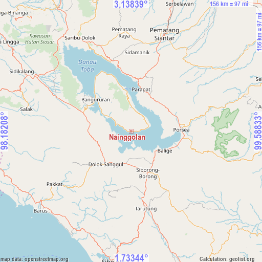
Nainggolan GPS coordinates[2]
2° 26' 9.96" North, 98° 53' 6.72" East
| Map corner | latitude | longitude |
|---|---|---|
| Upper-left | 3.13839°, | 98.18208° |
| Center: | 2.4361°, | 98.8852° |
| Lower-right: | 1.73344°, | 99.58833° |
| Map W x H: | 156.2×156.2 km | = 97.1×97.1mi |
| max Lat: | 5.88969° ⇑2.5% North |
| Nainggolan: | 2.4361° |
| min Lat: | ⇓97.5% South -10.934° |
| min Long | Nainggolan | max Long |
| 95.1345° | 98.8852° | 140.9419° |
| W 2.1%⇐ | ⇒97.9% E |
Elevation
Elevation of Nainggolan is 916 m = 3005 ft, and this is 686.3 m = 2252 ft above average elevation for this country.
| Max E: |
3185 m = 10449 ft | 3.5% |
| Nainggolan | 916 m 3005 ft | |
| Avg. | 229.7 m = 754 ft | |
Min E: |
-1 m = -3 ft | 96.5% |
See also: Indonesia elevation on elevation.city.
Geographical zone
Nainggolan is located in North Torrid zone (between Equator and Tropic of Cancer). Distance of Equator is 270.9 km =168.3 mi to South.| Distance of | km | miles | from Nainggolan |
|---|---|---|---|
| North Pole | 9736.2 | 6049.8 | to North |
| Arctic Circle | 7130.3 | 4430.6 | to North |
| Tropic Cancer | 2335.1 | 1451 | to North |
| Equator | 270.9 | 168.3 | to South |


Nearby cities:
15 places around Nainggolan: (largest is in red/bold)
• Ambarita
27.9 km =17.3 mi,  347°
347°
• Balige
23.1 km =14.4 mi,  119°
119°
• Dolok Sanggul
24.8 km =15.4 mi,  217°
217°
• Harian
28.1 km =17.5 mi,  298°
298°
• Lintongnihuta
17.9 km =11.1 mi,  186°
186°
• Mogang
9.7 km =6 mi,  292°
292°
• Muara
11.2 km =7 mi,  168°
168°
• Onan Ganjang Satu
41.8 km =26 mi, 222°
• Pangururan
28.4 km =17.6 mi,  312°
312°
• Parapat
25.8 km =16 mi,  12°
12°
• Parmonangan
39.3 km =24.4 mi,  200°
200°
• Siborong-Borong
26.7 km =16.6 mi,  158°
158°
• Sipoholon
41.8 km =26 mi, 170°
• Tomok Bolon
24.2 km =15 mi, 353°
• Tuktuk Sonak
26.1 km =16.2 mi, 353°
Sources, notices
• [Note1] Compared only with cities in Indonesia existing in our database
• [Src1] Map data: © OpenStreetMap contributors (CC-BY-SA)
• [Src2] Other city data from geonames.org with taken over terms of usage.
• [Src3] Geographical zone / Annual Mean Temperature by Robert A. Rohde @ Wikipedia
