Gunungsitoli geodata
Gunungsitoli (North Sumatra) is a seat of a second-order administrative division; located in Indonesia in Asia/Jakarta (GMT+7) time zone. In our database, there are 407 cities with bigger population. Compared to other cities in Indonesia, 96.5% of cities are located further ↓South; 98.7% of cities are located further →East and 85.2% of cities have higher elevation than Gunungsitoli. Note1


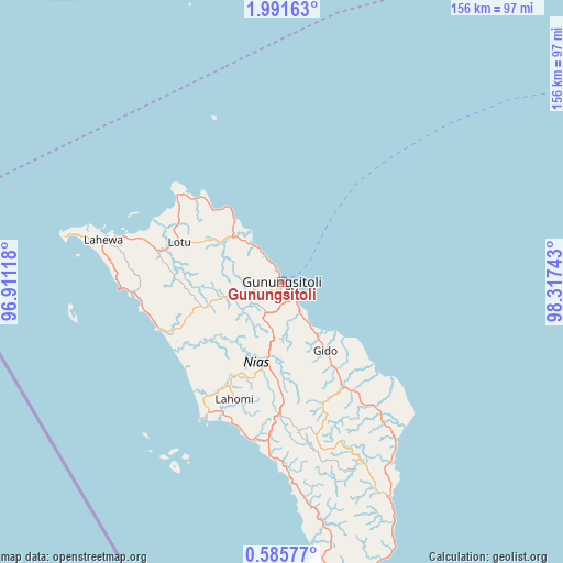
Gunungsitoli GPS coordinates[2]
1° 17' 19.68" North, 97° 36' 51.48" East
| Map corner | latitude | longitude |
|---|---|---|
| Upper-left | 1.99163°, | 96.91118° |
| Center: | 1.2888°, | 97.6143° |
| Lower-right: | 0.58577°, | 98.31743° |
| Map W x H: | 156.3×156.3 km | = 97.1×97.1mi |
| max Lat: | 5.88969° ⇑3.5% North |
| Gunungsitoli: | 1.2888° |
| min Lat: | ⇓96.5% South -10.934° |
| min Long | Gunungsitoli | max Long |
| 95.1345° | 97.6143° | 140.9419° |
| W 1.3%⇐ | ⇒98.7% E |
Elevation
Elevation of Gunungsitoli is 14 m = 46 ft, and this is 215.7 m = 708 ft below average elevation for this country.
| Max E: |
3185 m = 10449 ft | 85.2% |
| Avg. | 229.7 m = 754 ft | |
| Gunungsitoli | 14 m = 46 ft | |
Min E: |
-1 m = -3 ft | 14.8% |
See also: Indonesia elevation on elevation.city.
Geographical zone
Gunungsitoli is located in North Torrid zone (between Equator and Tropic of Cancer). Distance of Equator is 143.3 km =89 mi to South.| Distance of | km | miles | from Gunungsitoli |
|---|---|---|---|
| North Pole | 9863.8 | 6129.1 | to North |
| Arctic Circle | 7257.9 | 4509.8 | to North |
| Tropic Cancer | 2462.6 | 1530.2 | to North |
| Equator | 143.3 | 89 | to South |


Nearby cities:
15 places around Gunungsitoli: (largest is in red/bold)
• Barus
118.5 km =73.6 mi,  47°
47°
• Danauparis
135.3 km =84.1 mi,  22°
22°
• Gosong Telaga
115.4 km =71.7 mi, 17°
• Kuala Baru
108.3 km =67.3 mi,  10°
10°
• Kuala Baru Sungai
125.2 km =77.8 mi, 6°
• Lotu
32.9 km =20.4 mi,  298°
298°
• Onolimbu
35.2 km =21.9 mi,  201°
201°
• Pakkat
135.5 km =84.2 mi,  44°
44°
• Pandan
141.2 km =87.7 mi,  71°
71°
• Parlilitan
148.4 km =92.2 mi, 39°
• Pulo Batal
112.4 km =69.8 mi,  337°
337°
• Rimo
125.1 km =77.7 mi, 17°
• Sibolga
139.1 km =86.4 mi, 68°
• Singkil
112.7 km =70 mi, 9°
• Teluk Dalam
82.3 km =51.1 mi,  165°
165°
Sources, notices
• [Note1] Compared only with cities in Indonesia existing in our database
• [Src1] Map data: © OpenStreetMap contributors (CC-BY-SA)
• [Src2] Other city data from geonames.org with taken over terms of usage.
• [Src3] Geographical zone / Annual Mean Temperature by Robert A. Rohde @ Wikipedia
