Terong geodata
Terong (East Nusa Tenggara) is a seat of a fourth-order administrative division; located in Indonesia in Asia/Makassar (GMT+8) time zone. In our database, there are 407 cities with bigger population. Compared to other cities in Indonesia, 80.1% of cities are located further ↑North; 90.8% of cities are located further ←West and 78.9% of cities have higher elevation than Terong. Note1


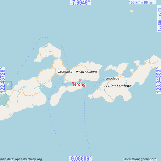
Terong GPS coordinates[2]
8° 23' 27.96" South, 123° 8' 25.44" East
| Map corner | latitude | longitude |
|---|---|---|
| Upper-left | -7.6949°, | 122.43728° |
| Center: | -8.3911°, | 123.1404° |
| Lower-right: | -9.08606°, | 123.84353° |
| Map W x H: | 154.7×154.7 km | = 96.1×96.1mi |
| max Lat: | 5.88969° ⇑80.1% North |
| Terong: | -8.3911° |
| min Lat: | ⇓19.9% South -10.934° |
| min Long | Terong | max Long |
| 95.1345° | 123.1404° | 140.9419° |
| W 90.8%⇐ | ⇒9.2% E |
Elevation
Elevation of Terong is 20 m = 66 ft, and this is 209.7 m = 688 ft below average elevation for this country.
| Max E: |
3185 m = 10449 ft | 78.9% |
| Avg. | 229.7 m = 754 ft | |
| Terong | 20 m = 66 ft | |
Min E: |
-1 m = -3 ft | 21.1% |
See also: Indonesia elevation on elevation.city.
Geographical zone
Terong is located in South Torrid zone (between Equator and Tropic of Capricorn). Distance of Equator is 933 km =579.7 mi to North.| Distance of | km | miles | from Terong |
|---|---|---|---|
| Equator | 933 | 579.7 | to North |
| Tropic Capricorn | 1672.9 | 1039.5 | to South |
| Antarctic Circle | 6468.2 | 4019.2 | to South |
| South Pole | 9074.1 | 5638.4 | to South |


Nearby cities:
15 places around Terong: (largest is in red/bold)
• Baniona
6.2 km =3.9 mi,  260°
260°
• Gorang
4.3 km =2.7 mi,  193°
193°
• Ipiebang
2.9 km =1.8 mi,  342°
342°
• Klukeng
6.1 km =3.8 mi, 264°
• Lamahala
1.2 km =0.7 mi,  81°
81°
• Lamakera Dua
5.3 km =3.3 mi,  151°
151°
• Lamakera Satu
5.6 km =3.5 mi, 151°
• Lamaluwo
5.5 km =3.4 mi,  16°
16°
• Lewonara
5.2 km =3.2 mi,  42°
42°
• Mewet
4.8 km =3 mi, 258°
• Mulawato
7.4 km =4.6 mi,  8°
8°
• Riangpao
6.8 km =4.2 mi, 10°
• Waipapan Satu
3.2 km =2 mi, 83°
• Waiwerang
2.7 km =1.7 mi, 83°
• Wotan
2.6 km =1.6 mi,  74°
74°
Sources, notices
• [Note1] Compared only with cities in Indonesia existing in our database
• [Src1] Map data: © OpenStreetMap contributors (CC-BY-SA)
• [Src2] Other city data from geonames.org with taken over terms of usage.
• [Src3] Geographical zone / Annual Mean Temperature by Robert A. Rohde @ Wikipedia
