Purwodadi geodata
Purwodadi (Central Java) is a seat of a second-order administrative division; located in Indonesia in Asia/Jakarta (GMT+7) time zone. With population of 150,206 people, there are 75 cities with bigger population in this country. Compared to other cities in Indonesia, 60.8% of cities are located further ↓South; 65% of cities are located further →East and 71.9% of cities have higher elevation than Purwodadi. Note1


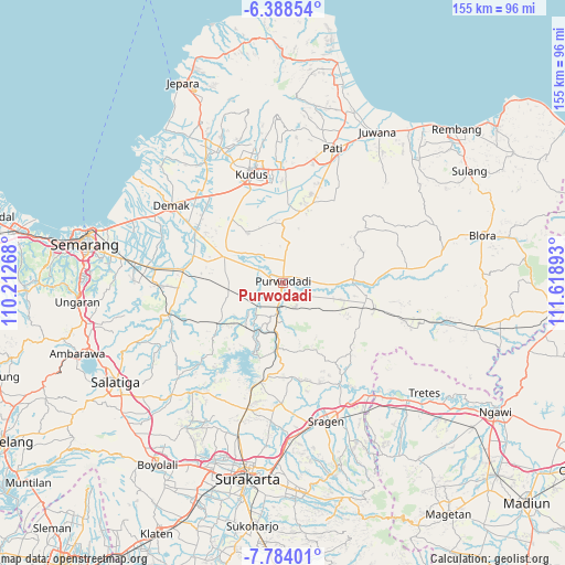
Purwodadi GPS coordinates[2]
7° 5' 12.48" South, 110° 54' 56.88" East
| Map corner | latitude | longitude |
|---|---|---|
| Upper-left | -6.38854°, | 110.21268° |
| Center: | -7.0868°, | 110.9158° |
| Lower-right: | -7.78401°, | 111.61893° |
| Map W x H: | 155.2×155.2 km | = 96.4×96.4mi |
| max Lat: | 5.88969° ⇑39.2% North |
| Purwodadi: | -7.0868° |
| min Lat: | ⇓60.8% South -10.934° |
| min Long | Purwodadi | max Long |
| 95.1345° | 110.9158° | 140.9419° |
| W 35%⇐ | ⇒65% E |
Elevation
Elevation of Purwodadi is 29 m = 95 ft, and this is 200.7 m = 658 ft below average elevation for this country.
| Max E: |
3185 m = 10449 ft | 71.9% |
| Avg. | 229.7 m = 754 ft | |
| Purwodadi | 29 m = 95 ft | |
Min E: |
-1 m = -3 ft | 28.1% |
See also: Purwodadi elevation on elevation.city.
Geographical zone
Purwodadi is located in South Torrid zone (between Equator and Tropic of Capricorn). Distance of Equator is 788 km =489.6 mi to North.| Distance of | km | miles | from Purwodadi |
|---|---|---|---|
| Equator | 788 | 489.6 | to North |
| Tropic Capricorn | 1817.9 | 1129.6 | to South |
| Antarctic Circle | 6613.2 | 4109.3 | to South |
| South Pole | 9219.1 | 5728.5 | to South |


Nearby cities:
15 places around Purwodadi: (largest is in red/bold)
• Baekrajan
36.2 km =22.5 mi,  349°
349°
• Bodeh
36.7 km =22.8 mi,  40°
40°
• Demak
37.5 km =23.3 mi,  305°
305°
• Dopang
37.7 km =23.4 mi, 39°
• Gemiring
38.7 km =24 mi,  16°
16°
• Guyangan
33.5 km =20.8 mi, 42°
• Jagong
37.5 km =23.3 mi,  83°
83°
• Jekulo
31.3 km =19.4 mi,  2°
2°
• Jepang
38.3 km =23.8 mi, 79°
• Jetak
38.4 km =23.9 mi, 37°
• Krajan Gajahmati
38.9 km =24.2 mi, 21°
• Kudus
32.4 km =20.1 mi, 345°
• Manding
36.9 km =22.9 mi, 41°
• Padas
38.1 km =23.7 mi,  48°
48°
• Welahan
38.7 km =24 mi,  325°
325°
Sources, notices
• [Note1] Compared only with cities in Indonesia existing in our database
• [Src1] Map data: © OpenStreetMap contributors (CC-BY-SA)
• [Src2] Other city data from geonames.org with taken over terms of usage.
• [Src3] Geographical zone / Annual Mean Temperature by Robert A. Rohde @ Wikipedia
