Baekrajan geodata
Baekrajan (Central Java) is a populated place; located in Indonesia in Asia/Jakarta (GMT+7) time zone. With population of 57,920 people, there are 207 cities with bigger population in this country. Compared to other cities in Indonesia, 77.5% of cities are located further ↓South; 65.1% of cities are located further →East and 57.9% of cities have higher elevation than Baekrajan. Note1


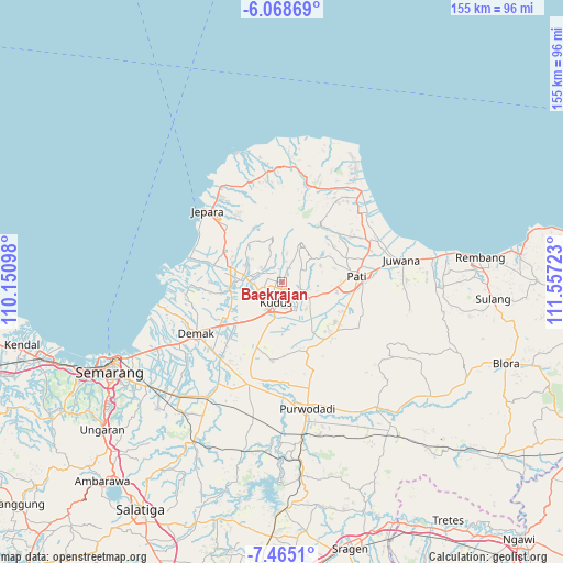
Baekrajan GPS coordinates[2]
6° 46' 2.64" South, 110° 51' 14.76" East
| Map corner | latitude | longitude |
|---|---|---|
| Upper-left | -6.06869°, | 110.15098° |
| Center: | -6.7674°, | 110.8541° |
| Lower-right: | -7.4651°, | 111.55723° |
| Map W x H: | 155.3×155.3 km | = 96.5×96.5mi |
| max Lat: | 5.88969° ⇑22.5% North |
| Baekrajan: | -6.7674° |
| min Lat: | ⇓77.5% South -10.934° |
| min Long | Baekrajan | max Long |
| 95.1345° | 110.8541° | 140.9419° |
| W 34.9%⇐ | ⇒65.1% E |
Elevation
Elevation of Baekrajan is 68 m = 223 ft, and this is 161.7 m = 531 ft below average elevation for this country.
| Max E: |
3185 m = 10449 ft | 57.9% |
| Avg. | 229.7 m = 754 ft | |
| Baekrajan | 68 m = 223 ft | |
Min E: |
-1 m = -3 ft | 42.1% |
See also: Baekrajan elevation on elevation.city.
Geographical zone
Baekrajan is located in South Torrid zone (between Equator and Tropic of Capricorn). Distance of Equator is 752.5 km =467.6 mi to North.| Distance of | km | miles | from Baekrajan |
|---|---|---|---|
| Equator | 752.5 | 467.6 | to North |
| Tropic Capricorn | 1853.5 | 1151.7 | to South |
| Antarctic Circle | 6648.7 | 4131.3 | to South |
| South Pole | 9254.6 | 5750.5 | to South |


Nearby cities:
15 places around Baekrajan: (largest is in red/bold)
• Gebog
3.8 km =2.4 mi,  343°
343°
• Gemiring
17.9 km =11.1 mi,  84°
84°
• Jekulo
9 km =5.6 mi,  118°
118°
• Karangnongko
19.1 km =11.9 mi,  73°
73°
• Kudus
4.4 km =2.7 mi,  199°
199°
• Ngarus
20 km =12.4 mi, 81°
• Pecangaan
17.6 km =10.9 mi,  296°
296°
• Puri
19 km =11.8 mi, 83°
• Purwosari
17.9 km =11.1 mi, 65°
• Randangan
16.3 km =10.1 mi, 66°
• Rendole
17.8 km =11.1 mi, 77°
• Tlogorejo
19.1 km =11.9 mi, 70°
• Tlogowungu
18.9 km =11.7 mi, 69°
• Welahan
15.6 km =9.7 mi,  256°
256°
• Winong
19.6 km =12.2 mi, 82°
Sources, notices
• [Note1] Compared only with cities in Indonesia existing in our database
• [Src1] Map data: © OpenStreetMap contributors (CC-BY-SA)
• [Src2] Other city data from geonames.org with taken over terms of usage.
• [Src3] Geographical zone / Annual Mean Temperature by Robert A. Rohde @ Wikipedia
