Pangaron geodata
Pangaron (South Kalimantan) is a seat of a third-order administrative division; located in Indonesia in Asia/Makassar (GMT+8) time zone. In our database, there are 407 cities with bigger population. Compared to other cities in Indonesia, 90.7% of cities are located further ↓South; 72.6% of cities are located further ←West and 64% of cities have lower elevation than Pangaron. Note1


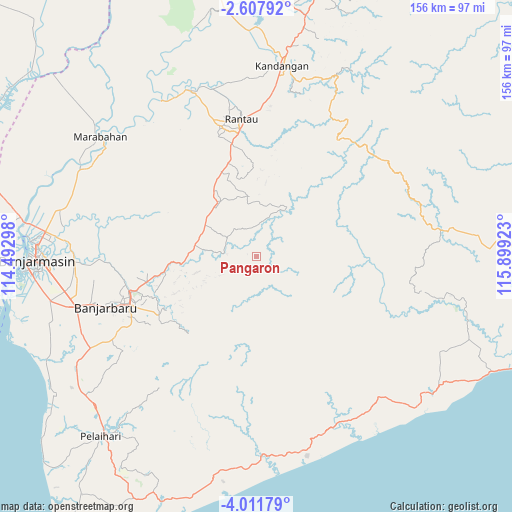
Pangaron GPS coordinates[2]
3° 18' 36.36" South, 115° 11' 45.96" East
| Map corner | latitude | longitude |
|---|---|---|
| Upper-left | -2.60792°, | 114.49298° |
| Center: | -3.3101°, | 115.1961° |
| Lower-right: | -4.01179°, | 115.89923° |
| Map W x H: | 156.1×156.1 km | = 97×97mi |
| max Lat: | 5.88969° ⇑9.3% North |
| Pangaron: | -3.3101° |
| min Lat: | ⇓90.7% South -10.934° |
| min Long | Pangaron | max Long |
| 95.1345° | 115.1961° | 140.9419° |
| W 72.6%⇐ | ⇒27.4% E |
Elevation
Elevation of Pangaron is 208 m = 682 ft, and this is 21.7 m = 71 ft below average elevation for this country.
| Max E: |
3185 m = 10449 ft | 36% |
| Avg. | 229.7 m = 754 ft | |
| Pangaron | 208 m = 682 ft | |
Min E: |
-1 m = -3 ft | 64% |
See also: Indonesia elevation on elevation.city.
Geographical zone
Pangaron is located in South Torrid zone (between Equator and Tropic of Capricorn). Distance of Equator is 368 km =228.7 mi to North.| Distance of | km | miles | from Pangaron |
|---|---|---|---|
| Equator | 368 | 228.7 | to North |
| Tropic Capricorn | 2237.9 | 1390.6 | to South |
| Antarctic Circle | 7033.1 | 4370.2 | to South |
| South Pole | 9639 | 5989.4 | to South |


Nearby cities:
15 places around Pangaron: (largest is in red/bold)
• Astambul
32 km =19.9 mi,  258°
258°
• Belimbing
40.3 km =25 mi,  25°
25°
• Binuang
26.9 km =16.7 mi,  352°
352°
• Karangintan
23.2 km =14.4 mi,  240°
240°
• Margasari
53.5 km =33.2 mi,  340°
340°
• Martapura
38.5 km =23.9 mi,  253°
253°
• Padangbatung
53.5 km =33.2 mi,  11°
11°
• Rantau
42.1 km =26.2 mi, 354°
• Simpangempat
18.8 km =11.7 mi,  280°
280°
• Simpur
54.2 km =33.7 mi, 8°
• Sungairaya
15.8 km =9.8 mi, 279°
• Sungairaya
50.7 km =31.5 mi, 6°
• Sungaitabuk
47.7 km =29.6 mi, 278°
• Tambarangan
34.8 km =21.6 mi, 348°
• Tapintengah
43.1 km =26.8 mi, 335°
Sources, notices
• [Note1] Compared only with cities in Indonesia existing in our database
• [Src1] Map data: © OpenStreetMap contributors (CC-BY-SA)
• [Src2] Other city data from geonames.org with taken over terms of usage.
• [Src3] Geographical zone / Annual Mean Temperature by Robert A. Rohde @ Wikipedia
