Aimere geodata
Aimere (East Nusa Tenggara) is a seat of a third-order administrative division; located in Indonesia in Asia/Makassar (GMT+8) time zone. In our database, there are 407 cities with bigger population. Compared to other cities in Indonesia, 92% of cities are located further ↑North; 85.3% of cities are located further ←West and 84.2% of cities have higher elevation than Aimere. Note1


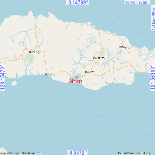
Aimere GPS coordinates[2]
8° 50' 35.16" South, 120° 51' 28.44" East
| Map corner | latitude | longitude |
|---|---|---|
| Upper-left | -8.14769°, | 120.15478° |
| Center: | -8.8431°, | 120.8579° |
| Lower-right: | -9.5372°, | 121.56103° |
| Map W x H: | 154.5×154.5 km | = 96×96mi |
| max Lat: | 5.88969° ⇑92% North |
| Aimere: | -8.8431° |
| min Lat: | ⇓8% South -10.934° |
| min Long | Aimere | max Long |
| 95.1345° | 120.8579° | 140.9419° |
| W 85.3%⇐ | ⇒14.7% E |
Elevation
Elevation of Aimere is 15 m = 49 ft, and this is 214.7 m = 704 ft below average elevation for this country.
| Max E: |
3185 m = 10449 ft | 84.2% |
| Avg. | 229.7 m = 754 ft | |
| Aimere | 15 m = 49 ft | |
Min E: |
-1 m = -3 ft | 15.8% |
See also: Indonesia elevation on elevation.city.
Geographical zone
Aimere is located in South Torrid zone (between Equator and Tropic of Capricorn). Distance of Equator is 983.3 km =611 mi to North.| Distance of | km | miles | from Aimere |
|---|---|---|---|
| Equator | 983.3 | 611 | to North |
| Tropic Capricorn | 1622.7 | 1008.3 | to South |
| Antarctic Circle | 6417.9 | 3987.9 | to South |
| South Pole | 9023.8 | 5607.1 | to South |


Nearby cities:
15 places around Aimere: (largest is in red/bold)
• Bajawa
14.3 km =8.9 mi,  63°
63°
• Bogenga
13.5 km =8.4 mi, 57°
• Bojawa
11.2 km =7 mi,  84°
84°
• Bongewu
12.8 km =8 mi, 55°
• Kisanata
13.6 km =8.5 mi, 64°
• Malapedo B
10.3 km =6.4 mi,  143°
143°
• Mari
11.5 km =7.1 mi, 81°
• Munde
14.4 km =8.9 mi,  292°
292°
• Ngedukelu
14.2 km =8.8 mi, 64°
• Paukate
3.4 km =2.1 mi,  353°
353°
• Pomasule
9 km =5.6 mi, 144°
• Ruto
11.8 km =7.3 mi, 140°
• Tanalodu
14 km =8.7 mi,  65°
65°
• Trikora
14 km =8.7 mi, 63°
• Waelengga
5.9 km =3.7 mi, 288°
Sources, notices
• [Note1] Compared only with cities in Indonesia existing in our database
• [Src1] Map data: © OpenStreetMap contributors (CC-BY-SA)
• [Src2] Other city data from geonames.org with taken over terms of usage.
• [Src3] Geographical zone / Annual Mean Temperature by Robert A. Rohde @ Wikipedia
