Nāgothana geodata
Nāgothana (Maharashtra) is a populated place; located in India in Asia/Kolkata (GMT+5.5) time zone. With population of 10,866 people, there are 2846 cities with bigger population in this country. Compared to other cities in India, 70.3% of cities are located further ↑North; 94% of cities are located further →East and 91.9% of cities have higher elevation than Nāgothana. Note1


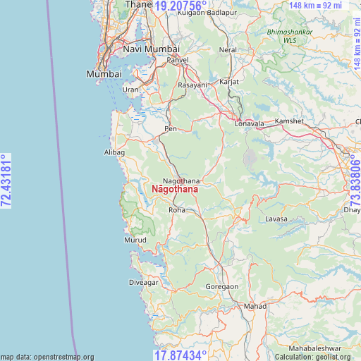
Nāgothana GPS coordinates[2]
18° 32' 32.1" North, 73° 8' 5.748" East
| Map corner | latitude | longitude |
|---|---|---|
| Upper-left | 19.20756°, | 72.43181° |
| Center: | 18.54225°, | 73.13493° |
| Lower-right: | 17.87434°, | 73.83806° |
| Map W x H: | 148.2×148.2 km | = 92.1×92.1mi |
| max Lat: | 34.9274° ⇑70.3% North |
| Nāgothana: | 18.54225° |
| min Lat: | ⇓29.7% South 8.09008° |
| min Long | Nāgothana | max Long |
| 68.82655° | 73.13493° | 96.81° |
| W 6%⇐ | ⇒94% E |
Elevation
Elevation of Nāgothana is 15 m = 49 ft, and this is 280.6 m = 921 ft below average elevation for this country.
| Max E: |
3681 m = 12077 ft | 91.9% |
| Avg. | 295.6 m = 970 ft | |
| Nāgothana | 15 m = 49 ft | |
Min E: |
1 m = 3 ft | 8.1% |
See also: India elevation on elevation.city.
Geographical zone
Nāgothana is located in North Torrid zone (between Equator and Tropic of Cancer). Distance of this Northern Tropic circle is 544.2 km =338.2 mi to North.| Distance of | km | miles | from Nāgothana |
|---|---|---|---|
| North Pole | 7945.4 | 4937 | to North |
| Arctic Circle | 5339.5 | 3317.8 | to North |
| Tropic Cancer | 544.2 | 338.2 | to North |
| Equator | 2061.7 | 1281.1 | to South |


Nearby cities:
15 places around Nāgothana: (largest is in red/bold)
• Alībāg
29.7 km =18.5 mi,  293°
293°
• Goregaon
46.1 km =28.6 mi,  159°
159°
• Indāpur
29.5 km =18.3 mi, 155°
• Karjat
45.5 km =28.3 mi,  25°
25°
• Khopoli
35 km =21.7 mi,  39°
39°
• Kālundri
48.7 km =30.3 mi,  359°
359°
• Lonavla
36.9 km =22.9 mi,  50°
50°
• Mhasla
45.5 km =28.3 mi,  183°
183°
• Murud
30 km =18.6 mi,  217°
217°
• Mātherān
50.9 km =31.6 mi,  15°
15°
• Panvel
49.7 km =30.9 mi, 356°
• Pen
22.1 km =13.7 mi,  349°
349°
• Revadanda
22.1 km =13.7 mi,  273°
273°
• Roha
11.8 km =7.3 mi,  187°
187°
• Uran
42.7 km =26.5 mi,  331°
331°
Sources, notices
• [Note1] Compared only with cities in India existing in our database
• [Src1] Map data: © OpenStreetMap contributors (CC-BY-SA)
• [Src2] Other city data from geonames.org with taken over terms of usage.
• [Src3] Geographical zone / Annual Mean Temperature by Robert A. Rohde @ Wikipedia
