Goregaon geodata
Goregaon (Maharashtra) is a populated place; located in India in Asia/Kolkata (GMT+5.5) time zone. With population of 6,946 people, there are 3216 cities with bigger population in this country. Compared to other cities in India, 71.3% of cities are located further ↑North; 93.4% of cities are located further →East and 92.8% of cities have higher elevation than Goregaon. Note1


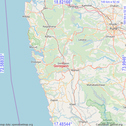
Goregaon GPS coordinates[2]
18° 9' 17.388" North, 73° 17' 29.292" East
| Map corner | latitude | longitude |
|---|---|---|
| Upper-left | 18.82166°, | 72.58835° |
| Center: | 18.15483°, | 73.29147° |
| Lower-right: | 17.48544°, | 73.9946° |
| Map W x H: | 148.6×148.6 km | = 92.3×92.3mi |
| max Lat: | 34.9274° ⇑71.3% North |
| Goregaon: | 18.15483° |
| min Lat: | ⇓28.7% South 8.09008° |
| min Long | Goregaon | max Long |
| 68.82655° | 73.29147° | 96.81° |
| W 6.6%⇐ | ⇒93.4% E |
Elevation
Elevation of Goregaon is 14 m = 46 ft, and this is 281.6 m = 924 ft below average elevation for this country.
| Max E: |
3681 m = 12077 ft | 92.8% |
| Avg. | 295.6 m = 970 ft | |
| Goregaon | 14 m = 46 ft | |
Min E: |
1 m = 3 ft | 7.2% |
See also: India elevation on elevation.city.
Geographical zone
Goregaon is located in North Torrid zone (between Equator and Tropic of Cancer). Distance of this Northern Tropic circle is 587.3 km =364.9 mi to North.| Distance of | km | miles | from Goregaon |
|---|---|---|---|
| North Pole | 7988.4 | 4963.8 | to North |
| Arctic Circle | 5382.5 | 3344.5 | to North |
| Tropic Cancer | 587.3 | 364.9 | to North |
| Equator | 2018.6 | 1254.3 | to South |


Nearby cities:
15 places around Goregaon: (largest is in red/bold)
• Bhor
58.3 km =36.2 mi,  90°
90°
• Harnai
43.2 km =26.8 mi,  208°
208°
• Indāpur
16.7 km =10.4 mi,  344°
344°
• Jalgaon
47.3 km =29.4 mi,  192°
192°
• Kharakvasla
60.1 km =37.3 mi,  58°
58°
• Khed
49.7 km =30.9 mi,  167°
167°
• Khed
62.1 km =38.6 mi,  70°
70°
• Mahād
15.4 km =9.6 mi,  121°
121°
• Mhasla
19.2 km =11.9 mi,  262°
262°
• Murud
39.8 km =24.7 mi,  298°
298°
• Nāgothana
46.1 km =28.6 mi, 339°
• Pānchgani
59.6 km =37 mi, 115°
• Revadanda
58.8 km =36.5 mi,  318°
318°
• Roha
36.2 km =22.5 mi,  329°
329°
• Srīvardhan
31.6 km =19.6 mi,  247°
247°
Sources, notices
• [Note1] Compared only with cities in India existing in our database
• [Src1] Map data: © OpenStreetMap contributors (CC-BY-SA)
• [Src2] Other city data from geonames.org with taken over terms of usage.
• [Src3] Geographical zone / Annual Mean Temperature by Robert A. Rohde @ Wikipedia
