Mushābani geodata
Mushābani (Jharkhand) is a populated place; located in India in Asia/Kolkata (GMT+5.5) time zone. With population of 32,761 people, there are 1331 cities with bigger population in this country. Compared to other cities in India, 53% of cities are located further ↑North; 88.1% of cities are located further ←West and 64.7% of cities have higher elevation than Mushābani. Note1


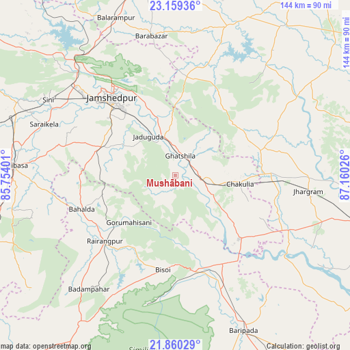
Mushābani GPS coordinates[2]
22° 30' 40.86" North, 86° 27' 25.668" East
| Map corner | latitude | longitude |
|---|---|---|
| Upper-left | 23.15936°, | 85.75401° |
| Center: | 22.51135°, | 86.45713° |
| Lower-right: | 21.86029°, | 87.16026° |
| Map W x H: | 144.4×144.4 km | = 89.7×89.7mi |
| max Lat: | 34.9274° ⇑53% North |
| Mushābani: | 22.51135° |
| min Lat: | ⇓47% South 8.09008° |
| min Long | Mushābani | max Long |
| 68.82655° | 86.45713° | 96.81° |
| W 88.1%⇐ | ⇒11.9% E |
Elevation
Elevation of Mushābani is 122 m = 400 ft, and this is 173.6 m = 570 ft below average elevation for this country.
| Max E: |
3681 m = 12077 ft | 64.7% |
| Avg. | 295.6 m = 970 ft | |
| Mushābani | 122 m = 400 ft | |
Min E: |
1 m = 3 ft | 35.3% |
See also: India elevation on elevation.city.
Geographical zone
Mushābani is located in North Torrid zone (between Equator and Tropic of Cancer). Distance of this Northern Tropic circle is 102.9 km =63.9 mi to North.| Distance of | km | miles | from Mushābani |
|---|---|---|---|
| North Pole | 7504 | 4662.8 | to North |
| Arctic Circle | 4898.1 | 3043.5 | to North |
| Tropic Cancer | 102.9 | 63.9 | to North |
| Equator | 2503 | 1555.3 | to South |


Nearby cities:
15 places around Mushābani: (largest is in red/bold)
• Chākuliā
27 km =16.8 mi,  96°
96°
• Chāndil
64.6 km =40.1 mi,  320°
320°
• Chāībāsa
67.4 km =41.9 mi,  273°
273°
• Ghātsīla
8.5 km =5.3 mi,  13°
13°
• Gobindpur
41.9 km =26 mi,  289°
289°
• Gopināthpur
42.7 km =26.5 mi, 293°
• Jamshedpur
42.7 km =26.5 mi, 319°
• Jhārgrām
55.6 km =34.5 mi, 96°
• Jugsālai
40.7 km =25.3 mi, 316°
• Khātra
65.8 km =40.9 mi,  38°
38°
• Kuchaiburi
39.8 km =24.7 mi,  226°
226°
• Kālikāpur
20.9 km =13 mi,  303°
303°
• Kāndra
56.2 km =34.9 mi,  312°
312°
• Saraikela
57.9 km =36 mi, 291°
• Sini
61.2 km =38 mi, 300°
Sources, notices
• [Note1] Compared only with cities in India existing in our database
• [Src1] Map data: © OpenStreetMap contributors (CC-BY-SA)
• [Src2] Other city data from geonames.org with taken over terms of usage.
• [Src3] Geographical zone / Annual Mean Temperature by Robert A. Rohde @ Wikipedia
