Khātra geodata
Khātra (West Bengal) is a populated place; located in India in Asia/Kolkata (GMT+5.5) time zone. With population of 16,484 people, there are 2330 cities with bigger population in this country. Compared to other cities in India, 51.4% of cities are located further ↓South; 89% of cities are located further ←West and 60.1% of cities have higher elevation than Khātra. Note1


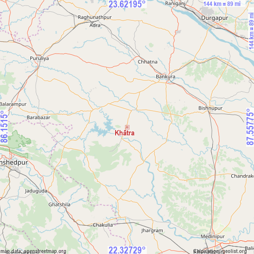
Khātra GPS coordinates[2]
22° 58' 34.212" North, 86° 51' 16.632" East
| Map corner | latitude | longitude |
|---|---|---|
| Upper-left | 23.62195°, | 86.1515° |
| Center: | 22.97617°, | 86.85462° |
| Lower-right: | 22.32729°, | 87.55775° |
| Map W x H: | 144×144 km | = 89.5×89.5mi |
| max Lat: | 34.9274° ⇑48.6% North |
| Khātra: | 22.97617° |
| min Lat: | ⇓51.4% South 8.09008° |
| min Long | Khātra | max Long |
| 68.82655° | 86.85462° | 96.81° |
| W 89%⇐ | ⇒11% E |
Elevation
Elevation of Khātra is 148 m = 486 ft, and this is 147.6 m = 484 ft below average elevation for this country.
| Max E: |
3681 m = 12077 ft | 60.1% |
| Avg. | 295.6 m = 970 ft | |
| Khātra | 148 m = 486 ft | |
Min E: |
1 m = 3 ft | 39.9% |
See also: India elevation on elevation.city.
Geographical zone
Khātra is located in North Torrid zone (between Equator and Tropic of Cancer). Distance of this Northern Tropic circle is 51.2 km =31.8 mi to North.| Distance of | km | miles | from Khātra |
|---|---|---|---|
| North Pole | 7452.4 | 4630.7 | to North |
| Arctic Circle | 4846.5 | 3011.5 | to North |
| Tropic Cancer | 51.2 | 31.8 | to North |
| Equator | 2554.7 | 1587.4 | to South |


Nearby cities:
15 places around Khātra: (largest is in red/bold)
• Adra
60.5 km =37.6 mi,  343°
343°
• Balarāmpur
66 km =41 mi,  281°
281°
• Barjora
67.1 km =41.7 mi,  41°
41°
• Beliātor
53.6 km =33.3 mi, 44°
• Bishnupur
48.8 km =30.3 mi,  77°
77°
• Bānkura
36.1 km =22.4 mi, 37°
• Chākuliā
56.6 km =35.2 mi,  194°
194°
• Ghātsīla
58.2 km =36.2 mi,  221°
221°
• Jhārgrām
59.8 km =37.2 mi,  166°
166°
• Kenda
42.5 km =26.4 mi,  305°
305°
• Mushābani
65.8 km =40.9 mi, 218°
• Puruliya
63.9 km =39.7 mi, 308°
• Raghunathpur
65.2 km =40.5 mi, 343°
• Sonāmukhi
67.8 km =42.1 mi,  57°
57°
• Āmlāgora
51.3 km =31.9 mi,  106°
106°
Sources, notices
• [Note1] Compared only with cities in India existing in our database
• [Src1] Map data: © OpenStreetMap contributors (CC-BY-SA)
• [Src2] Other city data from geonames.org with taken over terms of usage.
• [Src3] Geographical zone / Annual Mean Temperature by Robert A. Rohde @ Wikipedia
