Ólafsvík geodata
Ólafsvík (West) is a populated place; located in Iceland in Atlantic/Reykjavik (GMT+0) time zone. With population of 1,010 people, there are 30 cities with bigger population in this country. Compared to other cities in Iceland, 52.2% of cities are located further ↓South; 97.8% of cities are located further →East and 50% of cities have lower elevation than Ólafsvík. Note1


Ólafsvík GPS coordinates[2]
64° 53' 39.444" North, 23° 42' 33.048" West
| Map corner | latitude | longitude |
|---|---|---|
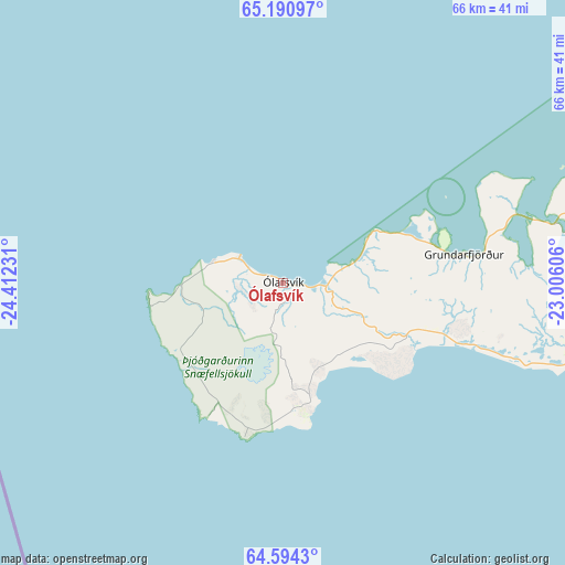
| Upper-left | 65.19097°, | -24.41231° |
| Center: | 64.89429°, | -23.70918° |
| Lower-right: | 64.5943°, | -23.00606° |
| Map W x H: | 66.3×66.3 km | = 41.2×41.2mi |
| max Lat: | 66.15917° ⇑47.8% North |
| Ólafsvík: | 64.89429° |
| min Lat: | ⇓52.2% South 63.44273° |
| min Long | Ólafsvík | max Long |
| -23.99596° | -23.70918° | -13.68368° |
| W 2.2%⇐ | ⇒97.8% E |
Elevation
Elevation of Ólafsvík is 16 m = 52 ft, and this is 5.3 m = 17 ft below average elevation for this country.
| Max E: |
105 m = 344 ft | 50% |
| Avg. | 21.3 m = 70 ft | |
| Ólafsvík | 16 m = 52 ft | |
Min E: |
1 m = 3 ft | 50% |
See also: Iceland elevation on elevation.city.
Geographical zone
Ólafsvík is located in North temperate zone (between Tropic of Cancer and the Arctic Circle). Distance of this North polar circle is 185.6 km =115.3 mi to North.| Distance of | km | miles | from Ólafsvík |
|---|---|---|---|
| North Pole | 2791.5 | 1734.6 | to North |
| Arctic Circle | 185.6 | 115.3 | to North |
| Tropic Cancer | 4609.6 | 2864.3 | to South |
| Equator | 7215.6 | 4483.6 | to South |


Nearby cities:
15 places around Ólafsvík: (largest is in red/bold)
• Akranes
100.6 km =62.5 mi,  129°
129°
• Borgarnes
93.7 km =58.2 mi,  114°
114°
• Garður
105.3 km =65.4 mi,  151°
151°
• Grundarfjörður
21.3 km =13.2 mi,  80°
80°
• Grundarhverfi
115.2 km =71.6 mi, 129°
• Keflavík
113.1 km =70.3 mi, 150°
• Kópavogur
122.3 km =76 mi,  135°
135°
• Patreksfjörður
79.4 km =49.3 mi,  350°
350°
• Reykjanesbær
113.8 km =70.7 mi, 151°
• Reykjavík
121 km =75.2 mi, 134°
• Sandgerði
106.7 km =66.3 mi, 153°
• Seltjarnarnes
116.2 km =72.2 mi, 135°
• Stykkishólmur
50.3 km =31.3 mi,  66°
66°
• Vogar
119.7 km =74.4 mi, 147°
• Álftanes
119.8 km =74.4 mi, 137°
Sources, notices
• [Note1] Compared only with cities in Iceland existing in our database
• [Src1] Map data: © OpenStreetMap contributors (CC-BY-SA)
• [Src2] Other city data from geonames.org with taken over terms of usage.
• [Src3] Geographical zone / Annual Mean Temperature by Robert A. Rohde @ Wikipedia
