Villanova geodata
Villanova (Friuli Venezia Giulia) is a populated place; located in Italy in Europe/Rome (GMT+2) time zone. With population of 1,005 people, there are 6642 cities with bigger population in this country. Compared to other cities in Italy, 94.6% of cities are located further ↓South; 67.9% of cities are located further ←West and 61.3% of cities have higher elevation than Villanova. Note1
Administrative division(s):
- Level 1: Friuli Venezia Giulia
- Level 2: Provincia di Udine
- Level 3: San Daniele del Friuli


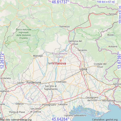
Villanova GPS coordinates[2]
46° 7' 56.136" North, 12° 58' 15.024" East
| Map corner | latitude | longitude |
|---|---|---|
| Upper-left | 46.61737°, | 12.26772° |
| Center: | 46.13226°, | 12.97084° |
| Lower-right: | 45.64284°, | 13.67397° |
| Map W x H: | 108.4×108.4 km | = 67.4×67.4mi |
| max Lat: | 47.04031° ⇑5.4% North |
| Villanova: | 46.13226° |
| min Lat: | ⇓94.6% South 35.50142° |
| min Long | Villanova | max Long |
| 6.69888° | 12.97084° | 18.48682° |
| W 67.9%⇐ | ⇒32.1% E |
Elevation
Elevation of Villanova is 153 m = 502 ft, and this is 153.7 m = 504 ft below average elevation for this country.
| Max E: |
2085 m = 6841 ft | 61.3% |
| Avg. | 306.7 m = 1006 ft | |
| Villanova | 153 m = 502 ft | |
Min E: |
-4 m = -13 ft | 38.7% |
See also: Italy elevation on elevation.city.
Geographical zone
Villanova is located in North temperate zone (between Tropic of Cancer and the Arctic Circle). Distance of this North polar circle is 2271.7 km =1411.6 mi to North.| Distance of | km | miles | from Villanova |
|---|---|---|---|
| North Pole | 4877.6 | 3030.8 | to North |
| Arctic Circle | 2271.7 | 1411.6 | to North |
| Tropic Cancer | 2523.5 | 1568 | to South |
| Equator | 5129.4 | 3187.3 | to South |


Nearby cities:
15 places around Villanova: (largest is in red/bold)
• Carpacco
1.7 km =1.1 mi,  211°
211°
• Cisterna
5.4 km =3.4 mi,  165°
165°
• Coseano
5.5 km =3.4 mi,  136°
136°
• Dignano
5.9 km =3.7 mi,  203°
203°
• Lestans
6.9 km =4.3 mi,  294°
294°
• Madrisio
7 km =4.3 mi,  101°
101°
• Muris
6.5 km =4 mi,  16°
16°
• Pinzano al Tagliamento
5.9 km =3.7 mi,  339°
339°
• Rive d'Arcano
4.8 km =3 mi, 96°
• Rodeano
3.9 km =2.4 mi,  127°
127°
• San Daniele del Friuli
3.9 km =2.4 mi,  45°
45°
• San Giacomo
4.6 km =2.9 mi,  12°
12°
• Silvella
7.9 km =4.9 mi, 129°
• Spilimbergo
6.4 km =4 mi,  250°
250°
• Valeriano
5.4 km =3.4 mi,  315°
315°
Sources, notices
• [Note1] Compared only with cities in Italy existing in our database
• [Src1] Map data: © OpenStreetMap contributors (CC-BY-SA)
• [Src2] Other city data from geonames.org with taken over terms of usage.
• [Src3] Geographical zone / Annual Mean Temperature by Robert A. Rohde @ Wikipedia
