Pieve geodata
Pieve (Lombardy) is a seat of a third-order administrative division; located in Italy in Europe/Rome (GMT+2) time zone. With population of 345 people, there are 10499 cities with bigger population in this country. Compared to other cities in Italy, 84.5% of cities are located further ↓South; 60.2% of cities are located further →East and 72.3% of cities have lower elevation than Pieve. Note1


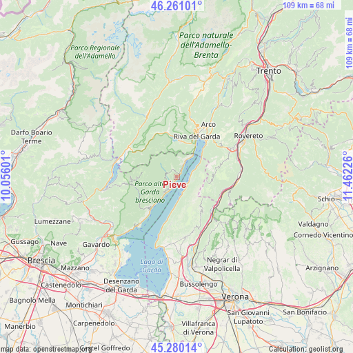
Pieve GPS coordinates[2]
45° 46' 21.828" North, 10° 45' 32.868" East
| Map corner | latitude | longitude |
|---|---|---|
| Upper-left | 46.26101°, | 10.05601° |
| Center: | 45.77273°, | 10.75913° |
| Lower-right: | 45.28014°, | 11.46226° |
| Map W x H: | 109.1×109.1 km | = 67.8×67.8mi |
| max Lat: | 47.04031° ⇑15.5% North |
| Pieve: | 45.77273° |
| min Lat: | ⇓84.5% South 35.50142° |
| min Long | Pieve | max Long |
| 6.69888° | 10.75913° | 18.48682° |
| W 39.8%⇐ | ⇒60.2% E |
Elevation
Elevation of Pieve is 418 m = 1371 ft, and this is 111.3 m = 365 ft above average elevation for this country.
| Max E: |
2085 m = 6841 ft | 27.7% |
| Pieve | 418 m 1371 ft | |
| Avg. | 306.7 m = 1006 ft | |
Min E: |
-4 m = -13 ft | 72.3% |
See also: Italy elevation on elevation.city.
Geographical zone
Pieve is located in North temperate zone (between Tropic of Cancer and the Arctic Circle). Distance of this North polar circle is 2311.7 km =1436.4 mi to North.| Distance of | km | miles | from Pieve |
|---|---|---|---|
| North Pole | 4917.6 | 3055.7 | to North |
| Arctic Circle | 2311.7 | 1436.4 | to North |
| Tropic Cancer | 2483.5 | 1543.2 | to South |
| Equator | 5089.5 | 3162.5 | to South |


Nearby cities:
15 places around Pieve: (largest is in red/bold)
• Avio
14.6 km =9.1 mi,  107°
107°
• Bezzecca
14.2 km =8.8 mi,  347°
347°
• Brenzone
8.1 km =5 mi,  179°
179°
• Ferrara di Monte Baldo
13.4 km =8.3 mi,  144°
144°
• Gardola
4.7 km =2.9 mi,  222°
222°
• Gargnano
12.4 km =7.7 mi, 218°
• Limone sul Garda
5.3 km =3.3 mi,  29°
29°
• Magasa
11.1 km =6.9 mi,  274°
274°
• Magugnano
8 km =5 mi, 178°
• Malcesine
4 km =2.5 mi, 108°
• Molina di Ledro
11 km =6.8 mi,  6°
6°
• Pieve di Ledro
13.1 km =8.1 mi, 350°
• Riva del Garda
14.1 km =8.8 mi, 26°
• Torbole sul Garda
14 km =8.7 mi,  39°
39°
• Valvestino
12.8 km =8 mi,  263°
263°
Sources, notices
• [Note1] Compared only with cities in Italy existing in our database
• [Src1] Map data: © OpenStreetMap contributors (CC-BY-SA)
• [Src2] Other city data from geonames.org with taken over terms of usage.
• [Src3] Geographical zone / Annual Mean Temperature by Robert A. Rohde @ Wikipedia
