Ottobiano geodata
Ottobiano (Lombardy) is a seat of a third-order administrative division; located in Italy in Europe/Rome (GMT+2) time zone. With population of 1,090 people, there are 6328 cities with bigger population in this country. Compared to other cities in Italy, 63.9% of cities are located further ↓South; 83.7% of cities are located further →East and 70.2% of cities have higher elevation than Ottobiano. Note1


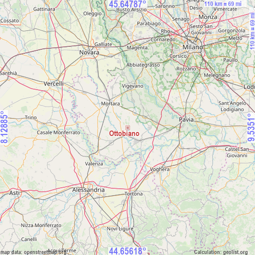
Ottobiano GPS coordinates[2]
45° 9' 15.048" North, 8° 49' 55.128" East
| Map corner | latitude | longitude |
|---|---|---|
| Upper-left | 45.64787°, | 8.12885° |
| Center: | 45.15418°, | 8.83198° |
| Lower-right: | 44.65618°, | 9.5351° |
| Map W x H: | 110.3×110.3 km | = 68.5×68.5mi |
| max Lat: | 47.04031° ⇑36.1% North |
| Ottobiano: | 45.15418° |
| min Lat: | ⇓63.9% South 35.50142° |
| min Long | Ottobiano | max Long |
| 6.69888° | 8.83198° | 18.48682° |
| W 16.3%⇐ | ⇒83.7% E |
Elevation
Elevation of Ottobiano is 96 m = 315 ft, and this is 210.7 m = 691 ft below average elevation for this country.
| Max E: |
2085 m = 6841 ft | 70.2% |
| Avg. | 306.7 m = 1006 ft | |
| Ottobiano | 96 m = 315 ft | |
Min E: |
-4 m = -13 ft | 29.8% |
See also: Italy elevation on elevation.city.
Geographical zone
Ottobiano is located in North temperate zone (between Tropic of Cancer and the Arctic Circle). Distance of this North polar circle is 2380.5 km =1479.2 mi to North.| Distance of | km | miles | from Ottobiano |
|---|---|---|---|
| North Pole | 4986.4 | 3098.4 | to North |
| Arctic Circle | 2380.5 | 1479.2 | to North |
| Tropic Cancer | 2414.8 | 1500.5 | to South |
| Equator | 5020.7 | 3119.7 | to South |


Nearby cities:
15 places around Ottobiano: (largest is in red/bold)
• Alagna
4.8 km =3 mi,  69°
69°
• Cergnago
6.8 km =4.2 mi,  316°
316°
• Dorno
9.3 km =5.8 mi,  90°
90°
• Ferrera Erbognone
5.1 km =3.2 mi,  149°
149°
• Galliavola
6.4 km =4 mi,  189°
189°
• Garlasco
8.5 km =5.3 mi,  57°
57°
• Lomello
4.7 km =2.9 mi,  216°
216°
• San Giorgio di Lomellina
4 km =2.5 mi,  305°
305°
• Sannazzaro de' Burgondi
8.2 km =5.1 mi,  134°
134°
• Scaldasole
6.9 km =4.3 mi,  117°
117°
• Semiana
8.2 km =5.1 mi,  256°
256°
• Tromello
6.8 km =4.2 mi,  26°
26°
• Valeggio
2.3 km =1.4 mi,  99°
99°
• Velezzo Lomellina
7.5 km =4.7 mi,  277°
277°
• Villa Biscossi
7.9 km =4.9 mi,  206°
206°
Sources, notices
• [Note1] Compared only with cities in Italy existing in our database
• [Src1] Map data: © OpenStreetMap contributors (CC-BY-SA)
• [Src2] Other city data from geonames.org with taken over terms of usage.
• [Src3] Geographical zone / Annual Mean Temperature by Robert A. Rohde @ Wikipedia
