Monteombraro geodata
Monteombraro (Emilia-Romagna) is a populated place; located in Italy in Europe/Rome (GMT+2) time zone. With population of 689 people, there are 8372 cities with bigger population in this country. Compared to other cities in Italy, 50.7% of cities are located further ↑North; 57.4% of cities are located further →East and 86.3% of cities have lower elevation than Monteombraro. Note1


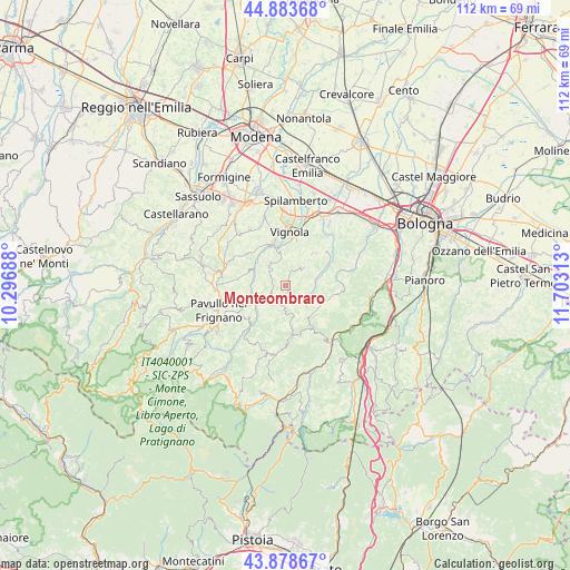
Monteombraro GPS coordinates[2]
44° 22' 59.988" North, 11° 0' 0" East
| Map corner | latitude | longitude |
|---|---|---|
| Upper-left | 44.88368°, | 10.29688° |
| Center: | 44.38333°, | 11° |
| Lower-right: | 43.87867°, | 11.70313° |
| Map W x H: | 111.7×111.7 km | = 69.4×69.4mi |
| max Lat: | 47.04031° ⇑50.7% North |
| Monteombraro: | 44.38333° |
| min Lat: | ⇓49.3% South 35.50142° |
| min Long | Monteombraro | max Long |
| 6.69888° | 11° | 18.48682° |
| W 42.6%⇐ | ⇒57.4% E |
Elevation
Elevation of Monteombraro is 638 m = 2093 ft, and this is 331.3 m = 1087 ft above average elevation for this country.
| Max E: |
2085 m = 6841 ft | 13.7% |
| Monteombraro | 638 m 2093 ft | |
| Avg. | 306.7 m = 1006 ft | |
Min E: |
-4 m = -13 ft | 86.3% |
See also: Italy elevation on elevation.city.
Geographical zone
Monteombraro is located in North temperate zone (between Tropic of Cancer and the Arctic Circle). Distance of this Northern Tropic circle is 2329 km =1447.2 mi to South.| Distance of | km | miles | from Monteombraro |
|---|---|---|---|
| North Pole | 5072.1 | 3151.7 | to North |
| Arctic Circle | 2466.2 | 1532.4 | to North |
| Tropic Cancer | 2329 | 1447.2 | to South |
| Equator | 4935 | 3066.5 | to South |


Nearby cities:
15 places around Monteombraro: (largest is in red/bold)
• Castel d'Aiano
11.8 km =7.3 mi,  179°
179°
• Castelletto
8.1 km =5 mi,  39°
39°
• Formica
9.5 km =5.9 mi,  6°
6°
• Garofano
8.4 km =5.2 mi,  0°
0°
• Guiglia
5.5 km =3.4 mi,  325°
325°
• Marano sul Panaro
8.8 km =5.5 mi,  343°
343°
• Montepastore
9.9 km =6.2 mi,  99°
99°
• Mulino
12.7 km =7.9 mi,  16°
16°
• Rocca Malatina
2.9 km =1.8 mi,  282°
282°
• Sant'Antonio
13.1 km =8.1 mi,  261°
261°
• Savignano sul Panaro
11.1 km =6.9 mi, 14°
• Savigno
6 km =3.7 mi,  80°
80°
• Tolè
7.6 km =4.7 mi,  141°
141°
• Vignola
11.2 km =7 mi, 4°
• Zocca
4.2 km =2.6 mi,  187°
187°
Sources, notices
• [Note1] Compared only with cities in Italy existing in our database
• [Src1] Map data: © OpenStreetMap contributors (CC-BY-SA)
• [Src2] Other city data from geonames.org with taken over terms of usage.
• [Src3] Geographical zone / Annual Mean Temperature by Robert A. Rohde @ Wikipedia
