Lavezzola geodata
Lavezzola (Emilia-Romagna) is a populated place; located in Italy in Europe/Rome (GMT+2) time zone. With population of 3,017 people, there are 3027 cities with bigger population in this country. Compared to other cities in Italy, 51.9% of cities are located further ↓South; 54.2% of cities are located further ←West and 97.2% of cities have higher elevation than Lavezzola. Note1
Administrative division(s):
- Level 1: Emilia-Romagna
- Level 2: Provincia di Ravenna
- Level 3: Conselice


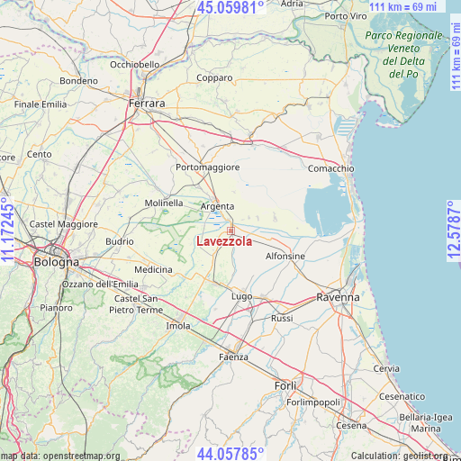
Lavezzola GPS coordinates[2]
44° 33' 39.564" North, 11° 52' 32.052" East
| Map corner | latitude | longitude |
|---|---|---|
| Upper-left | 45.05981°, | 11.17245° |
| Center: | 44.56099°, | 11.87557° |
| Lower-right: | 44.05785°, | 12.5787° |
| Map W x H: | 111.4×111.4 km | = 69.2×69.2mi |
| max Lat: | 47.04031° ⇑48.1% North |
| Lavezzola: | 44.56099° |
| min Lat: | ⇓51.9% South 35.50142° |
| min Long | Lavezzola | max Long |
| 6.69888° | 11.87557° | 18.48682° |
| W 54.2%⇐ | ⇒45.8% E |
Elevation
Elevation of Lavezzola is 5 m = 16 ft, and this is 301.7 m = 990 ft below average elevation for this country.
| Max E: |
2085 m = 6841 ft | 97.2% |
| Avg. | 306.7 m = 1006 ft | |
| Lavezzola | 5 m = 16 ft | |
Min E: |
-4 m = -13 ft | 2.8% |
See also: Italy elevation on elevation.city.
Geographical zone
Lavezzola is located in North temperate zone (between Tropic of Cancer and the Arctic Circle). Distance of this Northern Tropic circle is 2348.8 km =1459.5 mi to South.| Distance of | km | miles | from Lavezzola |
|---|---|---|---|
| North Pole | 5052.3 | 3139.4 | to North |
| Arctic Circle | 2446.5 | 1520.2 | to North |
| Tropic Cancer | 2348.8 | 1459.5 | to South |
| Equator | 4954.7 | 3078.7 | to South |


Nearby cities:
15 places around Lavezzola: (largest is in red/bold)
• Alfonsine
14.1 km =8.8 mi,  114°
114°
• Argenta
6.7 km =4.2 mi,  331°
331°
• Consandolo
13.2 km =8.2 mi,  323°
323°
• Conselice
6.6 km =4.1 mi,  214°
214°
• Fusignano
12.3 km =7.6 mi,  148°
148°
• Longastrino
11.1 km =6.9 mi,  73°
73°
• Marmorta
14.1 km =8.8 mi,  296°
296°
• Masiera
13.2 km =8.2 mi, 146°
• Massa Lombarda
13.4 km =8.3 mi,  198°
198°
• San Bernardino
5.2 km =3.2 mi,  170°
170°
• San Biagio
2.9 km =1.8 mi,  350°
350°
• San Patrizio
8.6 km =5.3 mi, 207°
• Sant'Agata sul Santerno
13.1 km =8.1 mi,  185°
185°
• Sant'Antonio
12.6 km =7.8 mi,  272°
272°
• Voltana
5.2 km =3.2 mi,  115°
115°
Sources, notices
• [Note1] Compared only with cities in Italy existing in our database
• [Src1] Map data: © OpenStreetMap contributors (CC-BY-SA)
• [Src2] Other city data from geonames.org with taken over terms of usage.
• [Src3] Geographical zone / Annual Mean Temperature by Robert A. Rohde @ Wikipedia
