Gorno geodata
Gorno (Lombardy) is a seat of a third-order administrative division; located in Italy in Europe/Rome (GMT+2) time zone. With population of 1,778 people, there are 4521 cities with bigger population in this country. Compared to other cities in Italy, 88% of cities are located further ↓South; 69.4% of cities are located further →East and 88.5% of cities have lower elevation than Gorno. Note1


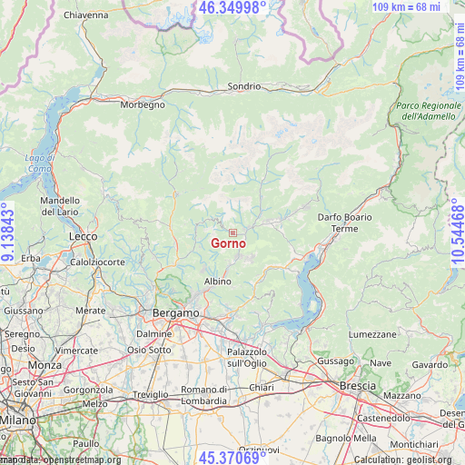
Gorno GPS coordinates[2]
45° 51' 44.964" North, 9° 50' 29.58" East
| Map corner | latitude | longitude |
|---|---|---|
| Upper-left | 46.34998°, | 9.13843° |
| Center: | 45.86249°, | 9.84155° |
| Lower-right: | 45.37069°, | 10.54468° |
| Map W x H: | 108.9×108.9 km | = 67.7×67.7mi |
| max Lat: | 47.04031° ⇑12% North |
| Gorno: | 45.86249° |
| min Lat: | ⇓88% South 35.50142° |
| min Long | Gorno | max Long |
| 6.69888° | 9.84155° | 18.48682° |
| W 30.6%⇐ | ⇒69.4% E |
Elevation
Elevation of Gorno is 683 m = 2241 ft, and this is 376.3 m = 1235 ft above average elevation for this country.
| Max E: |
2085 m = 6841 ft | 11.5% |
| Gorno | 683 m 2241 ft | |
| Avg. | 306.7 m = 1006 ft | |
Min E: |
-4 m = -13 ft | 88.5% |
See also: Italy elevation on elevation.city.
Geographical zone
Gorno is located in North temperate zone (between Tropic of Cancer and the Arctic Circle). Distance of this North polar circle is 2301.7 km =1430.2 mi to North.| Distance of | km | miles | from Gorno |
|---|---|---|---|
| North Pole | 4907.6 | 3049.4 | to North |
| Arctic Circle | 2301.7 | 1430.2 | to North |
| Tropic Cancer | 2493.5 | 1549.4 | to South |
| Equator | 5099.4 | 3168.6 | to South |


Nearby cities:
15 places around Gorno: (largest is in red/bold)
• Casnigo
5.9 km =3.7 mi,  158°
158°
• Cazzano Sant'Andrea
6.6 km =4.1 mi,  149°
149°
• Colzate
5.2 km =3.2 mi,  167°
167°
• Fiorano al Serio
6.9 km =4.3 mi,  179°
179°
• Gandino
7.2 km =4.5 mi,  142°
142°
• Masserini
6.7 km =4.2 mi,  186°
186°
• Oltre Il Colle
6.4 km =4 mi,  298°
298°
• Oneta
2 km =1.2 mi, 300°
• Orezzo
6.5 km =4 mi, 193°
• Parre
4 km =2.5 mi,  70°
70°
• Ponte Nossa
3.3 km =2.1 mi,  82°
82°
• Premolo
2.7 km =1.7 mi, 71°
• Vertova
5.9 km =3.7 mi, 174°
• Villa d'Oneta
2 km =1.2 mi, 298°
• Villassio
0.3 km =0.2 mi, 73°
Sources, notices
• [Note1] Compared only with cities in Italy existing in our database
• [Src1] Map data: © OpenStreetMap contributors (CC-BY-SA)
• [Src2] Other city data from geonames.org with taken over terms of usage.
• [Src3] Geographical zone / Annual Mean Temperature by Robert A. Rohde @ Wikipedia
