Framura geodata
Framura (Liguria) is a seat of a third-order administrative division; located in Italy in Europe/Rome (GMT+2) time zone. With population of 744 people, there are 7987 cities with bigger population in this country. Compared to other cities in Italy, 52.7% of cities are located further ↑North; 72.6% of cities are located further →East and 60.4% of cities have higher elevation than Framura. Note1


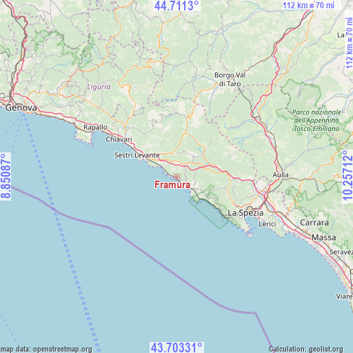
Framura GPS coordinates[2]
44° 12' 34.056" North, 9° 33' 14.364" East
| Map corner | latitude | longitude |
|---|---|---|
| Upper-left | 44.7113°, | 8.85087° |
| Center: | 44.20946°, | 9.55399° |
| Lower-right: | 43.70331°, | 10.25712° |
| Map W x H: | 112.1×112.1 km | = 69.7×69.7mi |
| max Lat: | 47.04031° ⇑52.7% North |
| Framura: | 44.20946° |
| min Lat: | ⇓47.3% South 35.50142° |
| min Long | Framura | max Long |
| 6.69888° | 9.55399° | 18.48682° |
| W 27.4%⇐ | ⇒72.6% E |
Elevation
Elevation of Framura is 160 m = 525 ft, and this is 146.7 m = 481 ft below average elevation for this country.
| Max E: |
2085 m = 6841 ft | 60.4% |
| Avg. | 306.7 m = 1006 ft | |
| Framura | 160 m = 525 ft | |
Min E: |
-4 m = -13 ft | 39.6% |
See also: Italy elevation on elevation.city.
Geographical zone
Framura is located in North temperate zone (between Tropic of Cancer and the Arctic Circle). Distance of this Northern Tropic circle is 2309.7 km =1435.2 mi to South.| Distance of | km | miles | from Framura |
|---|---|---|---|
| North Pole | 5091.4 | 3163.6 | to North |
| Arctic Circle | 2485.5 | 1544.4 | to North |
| Tropic Cancer | 2309.7 | 1435.2 | to South |
| Equator | 4915.6 | 3054.4 | to South |


Nearby cities:
15 places around Framura: (largest is in red/bold)
• Bonassola
3.8 km =2.4 mi,  140°
140°
• Borghetto di Vara
13.4 km =8.3 mi,  83°
83°
• Brugnato
14 km =8.7 mi, 77°
• Carro
8.2 km =5.1 mi,  32°
32°
• Carrodano
8.9 km =5.5 mi,  66°
66°
• Casarza Ligure
11 km =6.8 mi,  309°
309°
• Castiglione
7.9 km =4.9 mi,  338°
338°
• Deiva Marina
2.9 km =1.8 mi,  292°
292°
• Levanto
6.4 km =4 mi,  128°
128°
• Maissana
14.2 km =8.8 mi,  354°
354°
• Moneglia
6 km =3.7 mi,  303°
303°
• Monterosso al Mare
10.7 km =6.6 mi, 130°
• Pignone
13.9 km =8.6 mi,  104°
104°
• Sesta Godano
13.5 km =8.4 mi,  45°
45°
• Vernazza
13.2 km =8.2 mi, 128°
Sources, notices
• [Note1] Compared only with cities in Italy existing in our database
• [Src1] Map data: © OpenStreetMap contributors (CC-BY-SA)
• [Src2] Other city data from geonames.org with taken over terms of usage.
• [Src3] Geographical zone / Annual Mean Temperature by Robert A. Rohde @ Wikipedia
