Moneglia geodata
Moneglia (Liguria) is a seat of a third-order administrative division; located in Italy in Europe/Rome (GMT+2) time zone. With population of 1,920 people, there are 4287 cities with bigger population in this country. Compared to other cities in Italy, 52.4% of cities are located further ↑North; 73.4% of cities are located further →East and 89% of cities have higher elevation than Moneglia. Note1


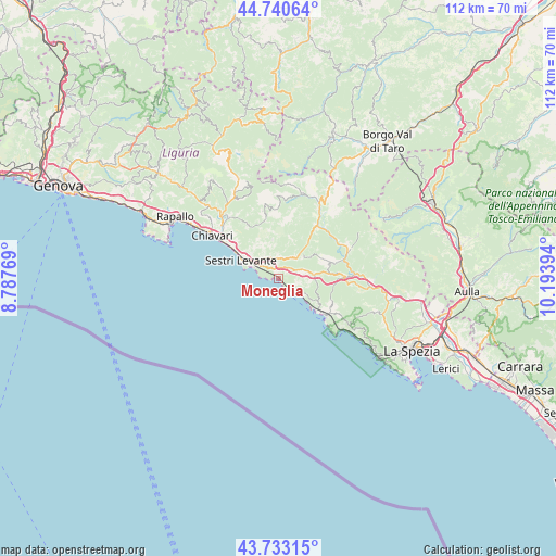
Moneglia GPS coordinates[2]
44° 14' 20.58" North, 9° 29' 26.916" East
| Map corner | latitude | longitude |
|---|---|---|
| Upper-left | 44.74064°, | 8.78769° |
| Center: | 44.23905°, | 9.49081° |
| Lower-right: | 43.73315°, | 10.19394° |
| Map W x H: | 112×112 km | = 69.6×69.6mi |
| max Lat: | 47.04031° ⇑52.4% North |
| Moneglia: | 44.23905° |
| min Lat: | ⇓47.6% South 35.50142° |
| min Long | Moneglia | max Long |
| 6.69888° | 9.49081° | 18.48682° |
| W 26.6%⇐ | ⇒73.4% E |
Elevation
Elevation of Moneglia is 20 m = 66 ft, and this is 286.7 m = 941 ft below average elevation for this country.
| Max E: |
2085 m = 6841 ft | 89% |
| Avg. | 306.7 m = 1006 ft | |
| Moneglia | 20 m = 66 ft | |
Min E: |
-4 m = -13 ft | 11% |
See also: Italy elevation on elevation.city.
Geographical zone
Moneglia is located in North temperate zone (between Tropic of Cancer and the Arctic Circle). Distance of this Northern Tropic circle is 2313 km =1437.2 mi to South.| Distance of | km | miles | from Moneglia |
|---|---|---|---|
| North Pole | 5088.1 | 3161.6 | to North |
| Arctic Circle | 2482.3 | 1542.4 | to North |
| Tropic Cancer | 2313 | 1437.2 | to South |
| Equator | 4918.9 | 3056.5 | to South |


Nearby cities:
15 places around Moneglia: (largest is in red/bold)
• Bonassola
9.7 km =6 mi,  129°
129°
• Carro
10.1 km =6.3 mi,  68°
68°
• Carrodano
13.1 km =8.1 mi,  88°
88°
• Casarza Ligure
5 km =3.1 mi,  316°
316°
• Castiglione
4.5 km =2.8 mi,  27°
27°
• Cogorno
13.2 km =8.2 mi,  313°
313°
• Conscenti
14 km =8.7 mi,  327°
327°
• Deiva Marina
3.2 km =2 mi, 132°
• Framura
6 km =3.7 mi,  123°
123°
• Lavagna
13.2 km =8.2 mi,  304°
304°
• Levanto
12.4 km =7.7 mi, 125°
• Maissana
11.4 km =7.1 mi,  18°
18°
• San Salvatore
14.9 km =9.3 mi, 313°
• Sesta Godano
15.9 km =9.9 mi, 67°
• Sestri Levante
8.4 km =5.2 mi, 296°
Sources, notices
• [Note1] Compared only with cities in Italy existing in our database
• [Src1] Map data: © OpenStreetMap contributors (CC-BY-SA)
• [Src2] Other city data from geonames.org with taken over terms of usage.
• [Src3] Geographical zone / Annual Mean Temperature by Robert A. Rohde @ Wikipedia
