Cavedine geodata
Cavedine (Trentino-Alto Adige) is a seat of a third-order administrative division; located in Italy in Europe/Rome (GMT+2) time zone. With population of 948 people, there are 6870 cities with bigger population in this country. Compared to other cities in Italy, 91.9% of cities are located further ↓South; 57.7% of cities are located further →East and 79.4% of cities have lower elevation than Cavedine. Note1
Administrative division(s):
- Level 1: Trentino-Alto Adige
- Level 2: Provincia autonoma di Trento
- Level 3: Cavedine


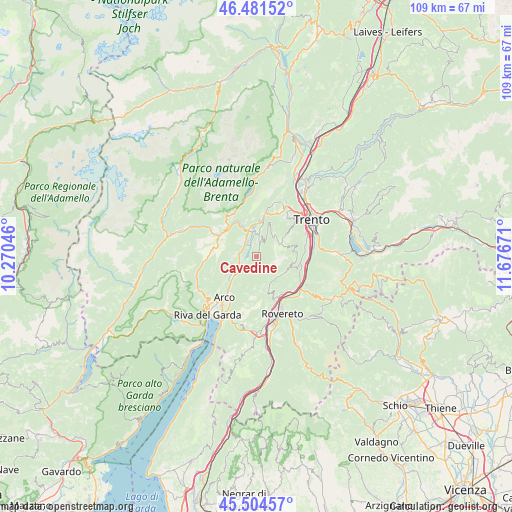
Cavedine GPS coordinates[2]
45° 59' 42.72" North, 10° 58' 24.888" East
| Map corner | latitude | longitude |
|---|---|---|
| Upper-left | 46.48152°, | 10.27046° |
| Center: | 45.9952°, | 10.97358° |
| Lower-right: | 45.50457°, | 11.67671° |
| Map W x H: | 108.6×108.6 km | = 67.5×67.5mi |
| max Lat: | 47.04031° ⇑8.1% North |
| Cavedine: | 45.9952° |
| min Lat: | ⇓91.9% South 35.50142° |
| min Long | Cavedine | max Long |
| 6.69888° | 10.97358° | 18.48682° |
| W 42.3%⇐ | ⇒57.7% E |
Elevation
Elevation of Cavedine is 515 m = 1690 ft, and this is 208.3 m = 683 ft above average elevation for this country.
| Max E: |
2085 m = 6841 ft | 20.6% |
| Cavedine | 515 m 1690 ft | |
| Avg. | 306.7 m = 1006 ft | |
Min E: |
-4 m = -13 ft | 79.4% |
See also: Italy elevation on elevation.city.
Geographical zone
Cavedine is located in North temperate zone (between Tropic of Cancer and the Arctic Circle). Distance of this North polar circle is 2287 km =1421.1 mi to North.| Distance of | km | miles | from Cavedine |
|---|---|---|---|
| North Pole | 4892.9 | 3040.3 | to North |
| Arctic Circle | 2287 | 1421.1 | to North |
| Tropic Cancer | 2508.3 | 1558.6 | to South |
| Equator | 5114.2 | 3177.8 | to South |


Nearby cities:
15 places around Cavedine: (largest is in red/bold)
• Calavino
5.7 km =3.5 mi,  8°
8°
• Castellano
8.4 km =5.2 mi,  162°
162°
• Ceniga
7.4 km =4.6 mi,  228°
228°
• Cimoneri
7.7 km =4.8 mi,  99°
99°
• Covelo
7.6 km =4.7 mi, 103°
• Drena
3.6 km =2.2 mi,  217°
217°
• Dro
6.1 km =3.8 mi, 231°
• Garniga Nuova
8.8 km =5.5 mi,  84°
84°
• Lasino
3.3 km =2.1 mi, 13°
• Padergnone
7.2 km =4.5 mi, 6°
• Pedersano
9.1 km =5.7 mi, 156°
• Pietramurata
3.7 km =2.3 mi,  319°
319°
• Ponte Arche
8.9 km =5.5 mi,  299°
299°
• Sarche
6 km =3.7 mi,  344°
344°
• Vigo
1.9 km =1.2 mi, 164°
Sources, notices
• [Note1] Compared only with cities in Italy existing in our database
• [Src1] Map data: © OpenStreetMap contributors (CC-BY-SA)
• [Src2] Other city data from geonames.org with taken over terms of usage.
• [Src3] Geographical zone / Annual Mean Temperature by Robert A. Rohde @ Wikipedia
