Cadenabbia geodata
Cadenabbia (Lombardy) is a populated place; located in Italy in Europe/Rome (GMT+2) time zone. With population of 1,012 people, there are 6622 cities with bigger population in this country. Compared to other cities in Italy, 91.7% of cities are located further ↓South; 77.5% of cities are located further →East and 55.6% of cities have higher elevation than Cadenabbia. Note1


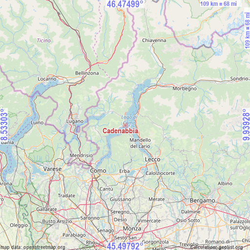
Cadenabbia GPS coordinates[2]
45° 59' 18.996" North, 9° 14' 10.14" East
| Map corner | latitude | longitude |
|---|---|---|
| Upper-left | 46.47499°, | 8.53303° |
| Center: | 45.98861°, | 9.23615° |
| Lower-right: | 45.49792°, | 9.93928° |
| Map W x H: | 108.6×108.6 km | = 67.5×67.5mi |
| max Lat: | 47.04031° ⇑8.3% North |
| Cadenabbia: | 45.98861° |
| min Lat: | ⇓91.7% South 35.50142° |
| min Long | Cadenabbia | max Long |
| 6.69888° | 9.23615° | 18.48682° |
| W 22.5%⇐ | ⇒77.5% E |
Elevation
Elevation of Cadenabbia is 198 m = 650 ft, and this is 108.7 m = 357 ft below average elevation for this country.
| Max E: |
2085 m = 6841 ft | 55.6% |
| Avg. | 306.7 m = 1006 ft | |
| Cadenabbia | 198 m = 650 ft | |
Min E: |
-4 m = -13 ft | 44.4% |
See also: Italy elevation on elevation.city.
Geographical zone
Cadenabbia is located in North temperate zone (between Tropic of Cancer and the Arctic Circle). Distance of this North polar circle is 2287.7 km =1421.5 mi to North.| Distance of | km | miles | from Cadenabbia |
|---|---|---|---|
| North Pole | 4893.6 | 3040.7 | to North |
| Arctic Circle | 2287.7 | 1421.5 | to North |
| Tropic Cancer | 2507.5 | 1558.1 | to South |
| Equator | 5113.5 | 3177.4 | to South |


Nearby cities:
15 places around Cadenabbia: (largest is in red/bold)
• Azzano
2.7 km =1.7 mi,  251°
251°
• Bellagio
2 km =1.2 mi,  92°
92°
• Bene Lario
6 km =3.7 mi,  318°
318°
• Civenna
6 km =3.7 mi,  153°
153°
• Codogna-Cardano
4.8 km =3 mi,  335°
335°
• Grandola ed Uniti
4.4 km =2.7 mi, 335°
• Griante
0.7 km =0.4 mi,  356°
356°
• Lenno
3.9 km =2.4 mi,  243°
243°
• Menaggio
3.6 km =2.2 mi,  3°
3°
• Mezzegra
2.5 km =1.6 mi, 252°
• Ossuccio
4.8 km =3 mi, 244°
• Perledo
5.5 km =3.4 mi,  57°
57°
• Sala Comacina
6.1 km =3.8 mi, 243°
• Tremezzo
1.6 km =1 mi, 252°
• Varenna
4.5 km =2.8 mi, 56°
Sources, notices
• [Note1] Compared only with cities in Italy existing in our database
• [Src1] Map data: © OpenStreetMap contributors (CC-BY-SA)
• [Src2] Other city data from geonames.org with taken over terms of usage.
• [Src3] Geographical zone / Annual Mean Temperature by Robert A. Rohde @ Wikipedia
