Canonica geodata
Canonica (Lombardy) is a populated place; located in Italy in Europe/Rome (GMT+2) time zone. With population of 1,851 people, there are 4409 cities with bigger population in this country. Compared to other cities in Italy, 79.3% of cities are located further ↓South; 76.6% of cities are located further →East and 51.6% of cities have lower elevation than Canonica. Note1
Administrative division(s):
- Level 1: Lombardy
- Level 2: Provincia di Monza e della Brianza
- Level 3: Triuggio


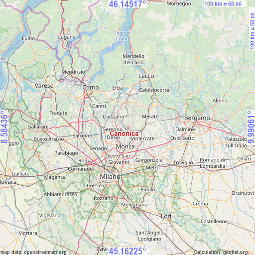
Canonica GPS coordinates[2]
45° 39' 21.132" North, 9° 17' 14.964" East
| Map corner | latitude | longitude |
|---|---|---|
| Upper-left | 46.14517°, | 8.58436° |
| Center: | 45.65587°, | 9.28749° |
| Lower-right: | 45.16225°, | 9.99061° |
| Map W x H: | 109.3×109.3 km | = 67.9×67.9mi |
| max Lat: | 47.04031° ⇑20.7% North |
| Canonica: | 45.65587° |
| min Lat: | ⇓79.3% South 35.50142° |
| min Long | Canonica | max Long |
| 6.69888° | 9.28749° | 18.48682° |
| W 23.4%⇐ | ⇒76.6% E |
Elevation
Elevation of Canonica is 244 m = 801 ft, and this is 62.7 m = 206 ft below average elevation for this country.
| Max E: |
2085 m = 6841 ft | 48.4% |
| Avg. | 306.7 m = 1006 ft | |
| Canonica | 244 m = 801 ft | |
Min E: |
-4 m = -13 ft | 51.6% |
See also: Italy elevation on elevation.city.
Geographical zone
Canonica is located in North temperate zone (between Tropic of Cancer and the Arctic Circle). Distance of this North polar circle is 2324.7 km =1444.5 mi to North.| Distance of | km | miles | from Canonica |
|---|---|---|---|
| North Pole | 4930.6 | 3063.7 | to North |
| Arctic Circle | 2324.7 | 1444.5 | to North |
| Tropic Cancer | 2470.5 | 1535.1 | to South |
| Equator | 5076.5 | 3154.4 | to South |


Nearby cities:
15 places around Canonica: (largest is in red/bold)
• Albiate
2.9 km =1.8 mi,  268°
268°
• Arcore
4.3 km =2.7 mi,  138°
138°
• Biassono
3.3 km =2.1 mi,  202°
202°
• Calò
3.2 km =2 mi,  323°
323°
• Camparada
2.8 km =1.7 mi,  92°
92°
• Campofiorenzo-California
2.6 km =1.6 mi,  60°
60°
• Carate Brianza
4.5 km =2.8 mi,  299°
299°
• Correzzana
2 km =1.2 mi,  52°
52°
• Costa Lambro
4.5 km =2.8 mi, 316°
• Lesmo
1.7 km =1.1 mi,  117°
117°
• Macherio
2.1 km =1.3 mi,  210°
210°
• Rogoredo-Valaperta-Rimoldo
4.2 km =2.6 mi, 56°
• Sovico
2.2 km =1.4 mi,  240°
240°
• Tregasio
2.4 km =1.5 mi,  1°
1°
• Triuggio
1.7 km =1.1 mi,  291°
291°
Sources, notices
• [Note1] Compared only with cities in Italy existing in our database
• [Src1] Map data: © OpenStreetMap contributors (CC-BY-SA)
• [Src2] Other city data from geonames.org with taken over terms of usage.
• [Src3] Geographical zone / Annual Mean Temperature by Robert A. Rohde @ Wikipedia
