Quinzanello geodata
Quinzanello (Lombardy) is a populated place; located in Italy in Europe/Rome (GMT+2) time zone. With population of 841 people, there are 7442 cities with bigger population in this country. Compared to other cities in Italy, 70.8% of cities are located further ↓South; 66.9% of cities are located further →East and 73% of cities have higher elevation than Quinzanello. Note1


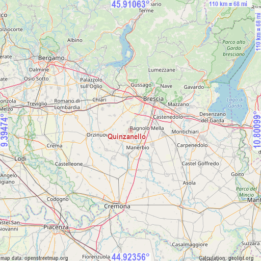
Quinzanello GPS coordinates[2]
45° 25' 9.3" North, 10° 5' 52.296" East
| Map corner | latitude | longitude |
|---|---|---|
| Upper-left | 45.91063°, | 9.39474° |
| Center: | 45.41925°, | 10.09786° |
| Lower-right: | 44.92356°, | 10.80099° |
| Map W x H: | 109.8×109.8 km | = 68.2×68.2mi |
| max Lat: | 47.04031° ⇑29.2% North |
| Quinzanello: | 45.41925° |
| min Lat: | ⇓70.8% South 35.50142° |
| min Long | Quinzanello | max Long |
| 6.69888° | 10.09786° | 18.48682° |
| W 33.1%⇐ | ⇒66.9% E |
Elevation
Elevation of Quinzanello is 83 m = 272 ft, and this is 223.7 m = 734 ft below average elevation for this country.
| Max E: |
2085 m = 6841 ft | 73% |
| Avg. | 306.7 m = 1006 ft | |
| Quinzanello | 83 m = 272 ft | |
Min E: |
-4 m = -13 ft | 27% |
See also: Italy elevation on elevation.city.
Geographical zone
Quinzanello is located in North temperate zone (between Tropic of Cancer and the Arctic Circle). Distance of this North polar circle is 2351 km =1460.8 mi to North.| Distance of | km | miles | from Quinzanello |
|---|---|---|---|
| North Pole | 4956.9 | 3080.1 | to North |
| Arctic Circle | 2351 | 1460.8 | to North |
| Tropic Cancer | 2444.2 | 1518.8 | to South |
| Equator | 5050.1 | 3138 | to South |


Nearby cities:
15 places around Quinzanello: (largest is in red/bold)
• Azzano Mella
4.2 km =2.6 mi,  20°
20°
• Bagnolo Mella
7 km =4.3 mi,  82°
82°
• Barbariga
3.7 km =2.3 mi,  245°
245°
• Bargnano
4.8 km =3 mi,  285°
285°
• Brandico
5.2 km =3.2 mi,  317°
317°
• Cadignano
7.2 km =4.5 mi,  205°
205°
• Capriano del Colle
6.7 km =4.2 mi, 23°
• Cignano
5.3 km =3.3 mi,  174°
174°
• Corticelle Pieve
1.8 km =1.1 mi,  74°
74°
• Dello
1.7 km =1.1 mi,  269°
269°
• Longhena
3.6 km =2.2 mi,  304°
304°
• Mairano
3.5 km =2.2 mi,  336°
336°
• Offlaga
4.1 km =2.5 mi,  158°
158°
• Pievedizio
4.7 km =2.9 mi,  350°
350°
• Scarpizzolo
6 km =3.7 mi,  219°
219°
Sources, notices
• [Note1] Compared only with cities in Italy existing in our database
• [Src1] Map data: © OpenStreetMap contributors (CC-BY-SA)
• [Src2] Other city data from geonames.org with taken over terms of usage.
• [Src3] Geographical zone / Annual Mean Temperature by Robert A. Rohde @ Wikipedia
